Latitude: 51.6419 / 51°38'31"N
Longitude: -1.6606 / 1°39'38"W
OS Eastings: 423583
OS Northings: 193737
OS Grid: SU235937
Mapcode National: GBR 5VZ.101
Mapcode Global: VHC0K.5ZGN
Plus Code: 9C3WJ8RQ+QQ
Entry Name: Village Cross
Listing Date: 10 November 1952
Grade: II
Source: Historic England
Source ID: 1182125
English Heritage Legacy ID: 251504
ID on this website: 101182125
Location: Coleshill, Vale of White Horse, Oxfordshire, SN6
County: Oxfordshire
District: Vale of White Horse
Civil Parish: Coleshill
Traditional County: Berkshire
Lieutenancy Area (Ceremonial County): Oxfordshire
Church of England Parish: Coleshill
Church of England Diocese: Oxford
Tagged with: High cross
COLESHILL
SU2393
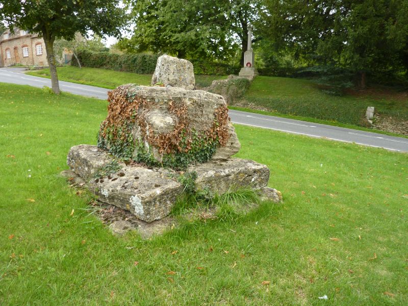
Village Cross
6/38
10/11/52
GV
II
Base and fragment of the shaft of the mediaeval village cross remain on the
small green to the S of the church.
Listing NGR: SU2358393737
External links are from the relevant listing authority and, where applicable, Wikidata. Wikidata IDs may be related buildings as well as this specific building. If you want to add or update a link, you will need to do so by editing the Wikidata entry.


Other nearby listed buildings