Approximate Location Map
Large Map »
Latitude: 51.2014 / 51°12'5"N
Longitude: 0.7405 / 0°44'25"E
OS Eastings: 591549
OS Northings: 148257
OS Grid: TQ915482
Mapcode National: GBR RVY.N18
Mapcode Global: VHKKC.S29B
Plus Code: 9F326P2R+H5
Entry Name: Field Mill (The Mill House)
Listing Date: 14 February 1967
Grade: II
Source: Historic England
Source ID: 1185638
English Heritage Legacy ID: 180715
ID on this website: 101185638
Location: Stonebridge Green, Ashford, Kent, TN27
County: Kent
District: Ashford
Civil Parish: Egerton
Traditional County: Kent
Lieutenancy Area (Ceremonial County): Kent
Tagged with: Mill building
1.
5272 CHARING EGERTON ROAD
Field Mill
(the mill house)
TQ 94 NW 10/79 14.2.67
II GV
2.
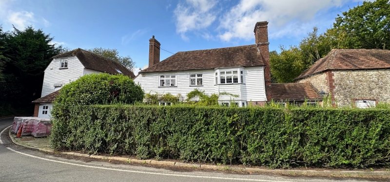
C18 front to an older building. Two storeys. Ground floor red brick, above
weatherboarded. Tiled roof with hip and pentice at the south-west end. Brick
chimney-breast on the north-east wall. Three sashes with glazing bars missing.
One bay on both floors.
Listing NGR: TQ9242549005
External links are from the relevant listing authority and, where applicable, Wikidata. Wikidata IDs may be related buildings as well as this specific building. If you want to add or update a link, you will need to do so by editing the Wikidata entry.


Other nearby listed buildings
