Latitude: 52.5885 / 52°35'18"N
Longitude: -1.5655 / 1°33'55"W
OS Eastings: 429534
OS Northings: 299050
OS Grid: SP295990
Mapcode National: GBR 5HH.M1S
Mapcode Global: WHCHC.X6PG
Plus Code: 9C4WHCQM+9R
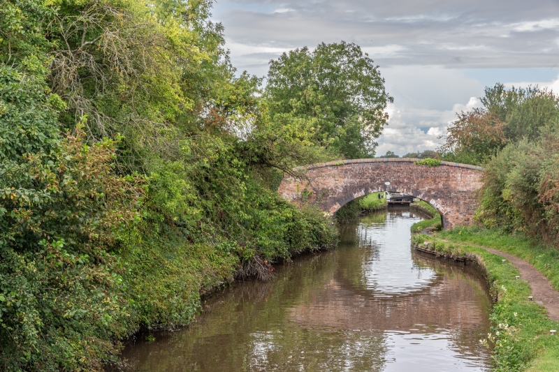
Entry Name: Whittington Road Bridge Coventry Canal
Listing Date: 23 May 1988
Grade: II
Source: Historic England
Source ID: 1186216
English Heritage Legacy ID: 309261
ID on this website: 101186216
Location: Whittington, North Warwickshire, CV9
County: Warwickshire
District: North Warwickshire
Civil Parish: Grendon
Traditional County: Warwickshire
Lieutenancy Area (Ceremonial County): Warwickshire
Church of England Parish: Grendon
Church of England Diocese: Birmingham
Tagged with: Bridge
GRENDON SP29NE 9/27 Whittington Road Bridge Coventry Canal
GV ll
Canal bridge, Late C18 with C19 patching. English bond brick. Segmental arch. included for group value.
Listing NGR: SP2953499049
External links are from the relevant listing authority and, where applicable, Wikidata. Wikidata IDs may be related buildings as well as this specific building. If you want to add or update a link, you will need to do so by editing the Wikidata entry.


Other nearby listed buildings