Latitude: 51.3572 / 51°21'26"N
Longitude: 0.1279 / 0°7'40"E
OS Eastings: 548256
OS Northings: 164167
OS Grid: TQ482641
Mapcode National: GBR RB.6WX
Mapcode Global: VHHPC.54GW
Plus Code: 9F32944H+V5
Entry Name: K6 Telephone Kiosk
Listing Date: 20 April 1988
Grade: II
Source: Historic England
Source ID: 1186823
English Heritage Legacy ID: 358638
ID on this website: 101186823
Location: Chelsfield, Bromley, London, BR6
County: London
District: Bromley
Electoral Ward/Division: Chelsfield and Pratts Bottom
Parish: Non Civil Parish
Traditional County: Kent
Lieutenancy Area (Ceremonial County): Greater London
Church of England Parish: Chelsfield St Martin of Tours
Church of England Diocese: Rochester
Tagged with: K6 telephone box
1. CHURCH ROAD
10/312 CHELSFIELD,
ORPINGTON
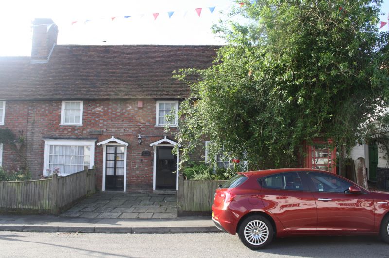
TQ 46 SE K6 Telephone Kiosk
II GV
Telephone kiosk. Type K6. Designed 1935 by Sir Giles Gilbert Scott. Made by
various contractors. Cast iron. Square kiosk with domed roof. Unperforated
crowns to top panels and margin glazing to windows and door.
Listing NGR: TQ4825664166
External links are from the relevant listing authority and, where applicable, Wikidata. Wikidata IDs may be related buildings as well as this specific building. If you want to add or update a link, you will need to do so by editing the Wikidata entry.


Other nearby listed buildings