Approximate Location Map
Large Map »
Latitude: 51.4824 / 51°28'56"N
Longitude: -0.5209 / 0°31'15"W
OS Eastings: 502801
OS Northings: 176971
OS Grid: TQ028769
Mapcode National: GBR GB1.13B
Mapcode Global: VHFTH.X0GG
Plus Code: 9C3XFFJH+WJ
Entry Name: Barn to King John's Palace
Listing Date: 11 August 1952
Grade: II
Source: Historic England
Source ID: 1187062
English Heritage Legacy ID: 363303
ID on this website: 101187062
Location: Poyle, Slough, Berkshire, SL3
County: Slough
Civil Parish: Colnbrook with Poyle
Built-Up Area: Poyle
Traditional County: Middlesex
Lieutenancy Area (Ceremonial County): Berkshire
Church of England Parish: Colnbrook
Church of England Diocese: Oxford
Tagged with: Barn
PARK STREET
1.
5390
Colnbrook
(south-west side)
Barn to King John's Palace
TQ 0276 NE 7/16 11.8.52
II GV
2.
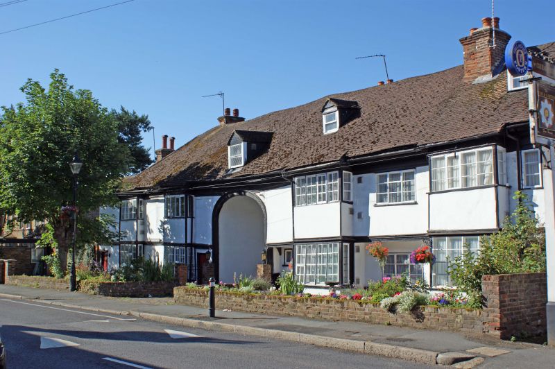
C18 probably. Weatherboarded, 4 bay barn with tiled roof. Forms 'L' plan
with No 6 to which it is linked by a carriageway to left. Double doors to
right. Brick plinth at west gable end. Partly corrugated iron covering to
rear.
Listing NGR: TQ0280176971
External links are from the relevant listing authority and, where applicable, Wikidata. Wikidata IDs may be related buildings as well as this specific building. If you want to add or update a link, you will need to do so by editing the Wikidata entry.


Other nearby listed buildings
