Approximate Location Map
Large Map »
Latitude: 51.4957 / 51°29'44"N
Longitude: -0.166 / 0°9'57"W
OS Eastings: 527411
OS Northings: 179014
OS Grid: TQ274790
Mapcode National: GBR 6L.X0
Mapcode Global: VHGQZ.2NMR
Plus Code: 9C3XFRWM+7J
Entry Name: Wall Linking Ends of Terraces
Listing Date: 7 November 1984
Grade: II
Source: Historic England
Source ID: 1190628
English Heritage Legacy ID: 203776
ID on this website: 101190628
Location: Brompton, Kensington and Chelsea, London, SW3
County: London
District: Kensington and Chelsea
Electoral Ward/Division: Brompton & Hans Town
Parish: Non Civil Parish
Built-Up Area: Kensington and Chelsea
Traditional County: Middlesex
Lieutenancy Area (Ceremonial County): Greater London
Church of England Parish: Holy Trinity with St Paul, Onslow Sq and St Augustine, Sth Kensington
Church of England Diocese: London
Tagged with: Wall
TQ 2779 SW EGERTON TERRACE SW3
40/29
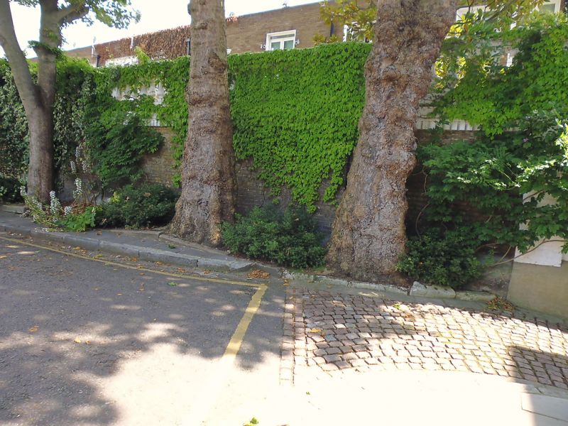
Wall linking ends of
terraces
II
Balustraded wall linking ends of facing terraces. Circa 1830.
Listing NGR: TQ2741179014
External links are from the relevant listing authority and, where applicable, Wikidata. Wikidata IDs may be related buildings as well as this specific building. If you want to add or update a link, you will need to do so by editing the Wikidata entry.


Other nearby listed buildings
