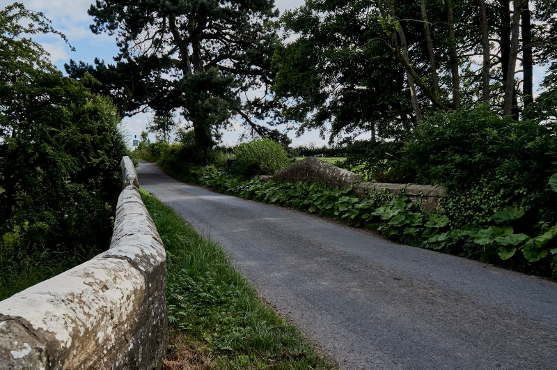
Latitude: 54.1658 / 54°9'56"N
Longitude: -1.2909 / 1°17'27"W
OS Eastings: 446397
OS Northings: 474678
OS Grid: SE463746
Mapcode National: GBR MNF8.BF
Mapcode Global: WHD8X.4KK8
Plus Code: 9C6W5P85+8M
Entry Name: Bridge over Birdforth Beck Approximately 60 Metres to South-West of Church of St Cuthbert
Listing Date: 20 December 1988
Grade: II
Source: Historic England
Source ID: 1190749
English Heritage Legacy ID: 332893
ID on this website: 101190749
Location: Little Sessay, North Yorkshire, YO7
County: North Yorkshire
District: Hambleton
Civil Parish: Sessay
Traditional County: Yorkshire
Lieutenancy Area (Ceremonial County): North Yorkshire
Tagged with: Bridge
SESSAY CHURCH LANE SE 47 SE 7/35 Bridge over Birdforth Beck, approximately 60 metres to south-west of Church of St Cuthbert GV II Road bridge. Probably medieval arch, otherwise mid C19. Rubble, with-ashlar dressings and footings of large blocks of tooled stone. Shallow, double-chamfered pointed arch, with 5 chamfered ribs to soffit; arch flanked by short, shallow buttresses with offset tops and, outside these, narrower full-height offset buttresses; above arch, on each side, an ogee-headed niche containing shield depicting Dawnay and Pagot arms; parapet which has chamfered coping, rises up over this to peak. Side walls terminate in wide quoined buttresses with offsets, except for north-east wall which continues to join churchyard wall (qv). Utley on North Riding Bridges: Bridges Book I, p 162 (held at North Yorkshire Record Office).
Listing NGR: SE4639774678
External links are from the relevant listing authority and, where applicable, Wikidata. Wikidata IDs may be related buildings as well as this specific building. If you want to add or update a link, you will need to do so by editing the Wikidata entry.


Other nearby listed buildings