Latitude: 51.5069 / 51°30'24"N
Longitude: -2.19 / 2°11'23"W
OS Eastings: 386910
OS Northings: 178680
OS Grid: ST869786
Mapcode National: GBR 1QH.K3R
Mapcode Global: VH964.0D35
Plus Code: 9C3VGR46+Q2
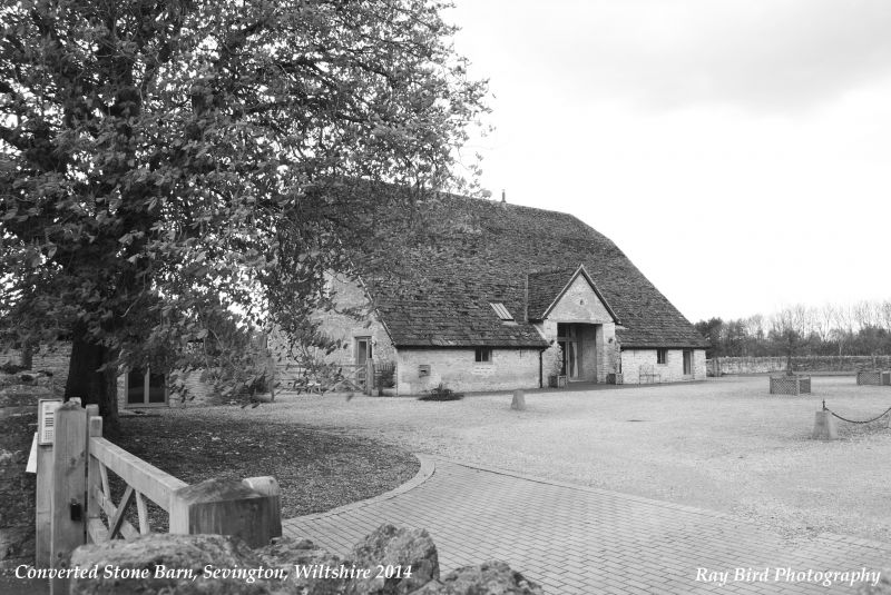
Entry Name: Barn at Sevington Farm
Listing Date: 16 June 1981
Grade: II
Source: Historic England
Source ID: 1198544
English Heritage Legacy ID: 315841
ID on this website: 101198544
Location: Sevington, Wiltshire, SN14
County: Wiltshire
Civil Parish: Grittleton
Traditional County: Wiltshire
Lieutenancy Area (Ceremonial County): Wiltshire
Church of England Parish: Grittleton and Leigh Delamere
Church of England Diocese: Bristol
Tagged with: Barn
GRITTLETON SEVINGTON ST 87 NE
7/30 Barn at Sevington Farm 16.6.81
GV II
Barn, c1840-50, possibly remodelling of C18 barn, rubble stone with flush quoins and half-hipped stone slate roof swept down on east side over stalls flanking gabled cart entry. West side plain entry with boarded upper loading doors each side. Regular spaced vent loops. In south gable 5 tiers of dove holes in triangular pattern. Tall interior with 7-bay triple purlin roof and king-post and angle-strut trusses. Cambered-arched opening into east cart-entry. A barn with features typical of the Neeld estate barns, but other barns have squared rubble stone walling.
Listing NGR: ST8691078680
External links are from the relevant listing authority and, where applicable, Wikidata. Wikidata IDs may be related buildings as well as this specific building. If you want to add or update a link, you will need to do so by editing the Wikidata entry.


Other nearby listed buildings