Latitude: 51.263 / 51°15'46"N
Longitude: 0.3041 / 0°18'14"E
OS Eastings: 560855
OS Northings: 154064
OS Grid: TQ608540
Mapcode National: GBR MN8.RPS
Mapcode Global: VHHPV.7J43
Plus Code: 9F327873+6M
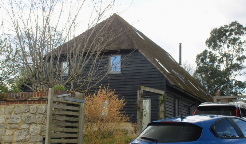
Entry Name: Barn 30 Yards to the East of Dux Farmhouse
Listing Date: 17 August 1983
Grade: II
Source: Historic England
Source ID: 1204507
English Heritage Legacy ID: 357337
ID on this website: 101204507
Location: Plaxtol, Tonbridge and Malling, Kent, TN15
County: Kent
District: Tonbridge and Malling
Town: Tonbridge and Malling
Civil Parish: Plaxtol
Traditional County: Kent
Lieutenancy Area (Ceremonial County): Kent
Church of England Parish: Plaxtol
Church of England Diocese: Rochester
Tagged with: Barn
TQ 65 SW PLAXTOL DUX LANE 2/8 (north side)
17.8.83 Barn 30 yds to the east of Dux Farmhouse GV II
Barn. C18. Weatherboarded with catslide tiled roof. Hipped wagon entrance to north. Five bays. Queen post roof.
Listing NGR: TQ6085554064
External links are from the relevant listing authority and, where applicable, Wikidata. Wikidata IDs may be related buildings as well as this specific building. If you want to add or update a link, you will need to do so by editing the Wikidata entry.


Other nearby listed buildings