Latitude: 51.0279 / 51°1'40"N
Longitude: 0.577 / 0°34'37"E
OS Eastings: 580809
OS Northings: 128550
OS Grid: TQ808285
Mapcode National: GBR PV6.GQH
Mapcode Global: FRA D63D.DNH
Plus Code: 9F322HHG+5R
Entry Name: Puxtye Farmhouse
Listing Date: 5 July 1993
Grade: II
Source: Historic England
Source ID: 1204717
English Heritage Legacy ID: 170301
ID on this website: 101204717
Location: Linkhill, Tunbridge Wells, Kent, TN18
County: Kent
District: Tunbridge Wells
Civil Parish: Sandhurst
Traditional County: Kent
Lieutenancy Area (Ceremonial County): Kent
Tagged with: Farmhouse
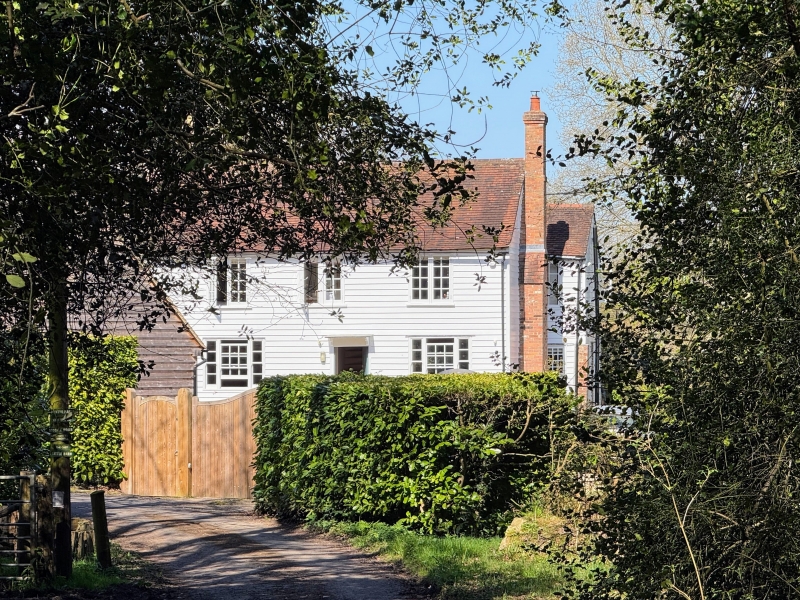
SANDHURST TQ82NW CROUCH LANE 1350-0/6/196 Puxtye Farmhouse GV II Farmhouse. Late C18 or early C19 with mid C19 extension to left hand side. Weatherboarded on brick plinth with tiled roof and end brick chimneystacks. 2 storeys 3 windows. Ground floor windows are tripartite sashes but with altered centre, 1st floor windows are casements. Central doorcase with flat hood on brackets and 4 flush panels to door.
Listing NGR: TQ8077528548
External links are from the relevant listing authority and, where applicable, Wikidata. Wikidata IDs may be related buildings as well as this specific building. If you want to add or update a link, you will need to do so by editing the Wikidata entry.


Other nearby listed buildings