Latitude: 50.8314 / 50°49'53"N
Longitude: -0.1718 / 0°10'18"W
OS Eastings: 528846
OS Northings: 105135
OS Grid: TQ288051
Mapcode National: GBR JNW.Z7V
Mapcode Global: FRA B6JW.WDH
Plus Code: 9C2XRRJH+H7
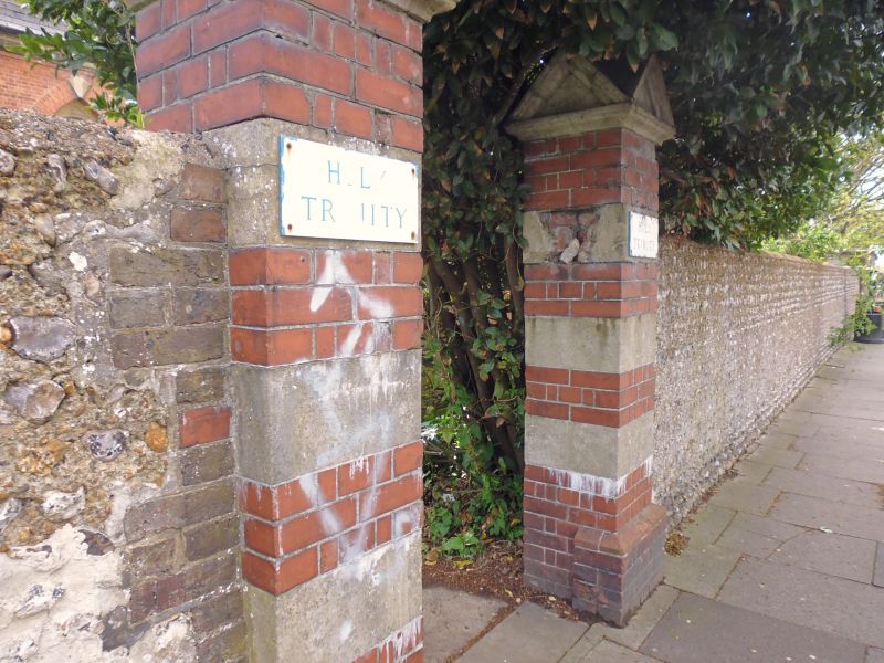
Entry Name: Walls Enclosing Churchyard of Holy Trinity Church
Listing Date: 2 November 1992
Grade: II
Source: Historic England
Source ID: 1204739
English Heritage Legacy ID: 365487
ID on this website: 101204739
Location: Hove, Brighton and Hove, West Sussex, BN3
County: The City of Brighton and Hove
Electoral Ward/Division: Goldsmid
Parish: Non Civil Parish
Built-Up Area: Brighton and Hove
Traditional County: Sussex
Lieutenancy Area (Ceremonial County): East Sussex
Church of England Parish: Hove All Saints
Church of England Diocese: Chichester
Tagged with: Wall
HOVE
TQ2805SE BLATCHINGTON ROAD 579-1/14/10 (North side) Walls enclosing churchyard of Holy Trinity Church
GV II
Boundary walls to churchyard. c1866, raised c1880. Brick and unknapped flint. Plan: returned from entrance front on Blatchington Road north up Goldstone Villas and east along Eaton Villas; the east boundary wall is also the garden wall of properties in Denmark Villas. Coursed, unknapped flint strengthened vertical sections of brickwork with brick at junctions of the wall. Brick coping to wall fronting Blatchington Road and cement saddleback coping to Goldstone Villas. The east and west walls are higher than the south. The Annual Church Report of 1880 stated that "it will be necessary to raise the boundary walls on the north and west sides to prevent so much rubbish being thrown over."
Listing NGR: TQ2884605135
External links are from the relevant listing authority and, where applicable, Wikidata. Wikidata IDs may be related buildings as well as this specific building. If you want to add or update a link, you will need to do so by editing the Wikidata entry.


Other nearby listed buildings