Latitude: 51.431 / 51°25'51"N
Longitude: -0.5106 / 0°30'38"W
OS Eastings: 503637
OS Northings: 171270
OS Grid: TQ036712
Mapcode National: GBR 0J.MYP
Mapcode Global: VHFTQ.39FC
Plus Code: 9C3XCFJQ+9Q
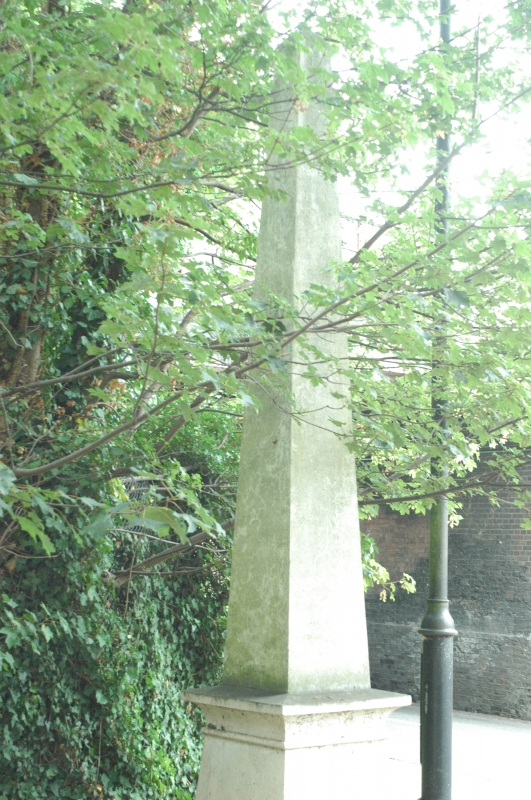
Entry Name: Obelisk to North of Railway Bridge
Listing Date: 2 February 1982
Grade: II
Source: Historic England
Source ID: 1205078
English Heritage Legacy ID: 363312
ID on this website: 101205078
Location: Staines-upon-Thames, Spelthorne, Surrey, TW18
County: Surrey
District: Spelthorne
Electoral Ward/Division: Staines
Parish: Non Civil Parish
Built-Up Area: Staines
Traditional County: Middlesex
Lieutenancy Area (Ceremonial County): Surrey
Church of England Parish: Staines
Church of England Diocese: London
Tagged with: Obelisk
THAMES STREET 1. 5390 Staines Obelisk to north of Railway Bridge TQ 0371 9/117 II
2. 1837. Connected with Coal and Wine Tax. Cast-iron. This obelisk, like the city posts also included (qv), marks the point at which the City of London boundaries began.
Listing NGR: TQ0363771270
External links are from the relevant listing authority and, where applicable, Wikidata. Wikidata IDs may be related buildings as well as this specific building. If you want to add or update a link, you will need to do so by editing the Wikidata entry.


Other nearby listed buildings