Latitude: 50.2637 / 50°15'49"N
Longitude: -5.0497 / 5°2'58"W
OS Eastings: 182745
OS Northings: 44858
OS Grid: SW827448
Mapcode National: GBR ZF.XGRN
Mapcode Global: FRA 089B.JJZ
Plus Code: 9C2P7X72+F4
Entry Name: 21, St Mary's Street
Listing Date: 30 July 1993
Grade: II
Source: Historic England
Source ID: 1206124
English Heritage Legacy ID: 377597
ID on this website: 101206124
Location: Truro, Cornwall, TR1
County: Cornwall
Civil Parish: Truro
Built-Up Area: Truro
Traditional County: Cornwall
Lieutenancy Area (Ceremonial County): Cornwall
Church of England Parish: St Mary Truro
Church of England Diocese: Truro
Tagged with: Building
TRURO
SW8244NE ST MARY'S STREET 880-1/7/286 (North East side) No.21
GV II
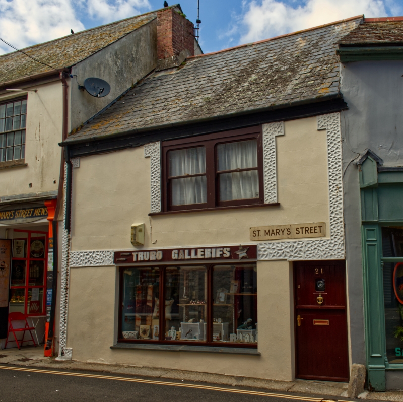
House, now shop with accommodation over. C18. Stucco with vermiculated rustications; steep dry slate roof. Double-depth plan. 2 storeys; one-window range. C20 shop front. Wide first-floor window with pair of horned sashes. INTERIOR not inspected.
Listing NGR: SW8274544858
External links are from the relevant listing authority and, where applicable, Wikidata. Wikidata IDs may be related buildings as well as this specific building. If you want to add or update a link, you will need to do so by editing the Wikidata entry.


Other nearby listed buildings