Approximate Location Map
Large Map »
Latitude: 51.1427 / 51°8'33"N
Longitude: -0.1536 / 0°9'12"W
OS Eastings: 529261
OS Northings: 139782
OS Grid: TQ292397
Mapcode National: GBR JK7.B0J
Mapcode Global: VHGSQ.9J5V
Plus Code: 9C3X4RVW+3H
Entry Name: Radford Farmhouse
Listing Date: 23 February 1983
Grade: II
Source: Historic England
Source ID: 1207831
English Heritage Legacy ID: 363389
ID on this website: 101207831
Location: Tinsley Green, Crawley, West Sussex, RH10
County: West Sussex
District: Crawley
Electoral Ward/Division: Pound Hill North
Parish: Non Civil Parish
Built-Up Area: Tinsley Green
Traditional County: Surrey
Lieutenancy Area (Ceremonial County): West Sussex
Church of England Parish: Horley
Church of England Diocese: Southwark
Tagged with: Farmhouse Thatched farmhouse
RADFORD ROAD
1.
5403
Tinsley Green
Radford Farmhouse
TQ 23 NE 3/67
II
2.
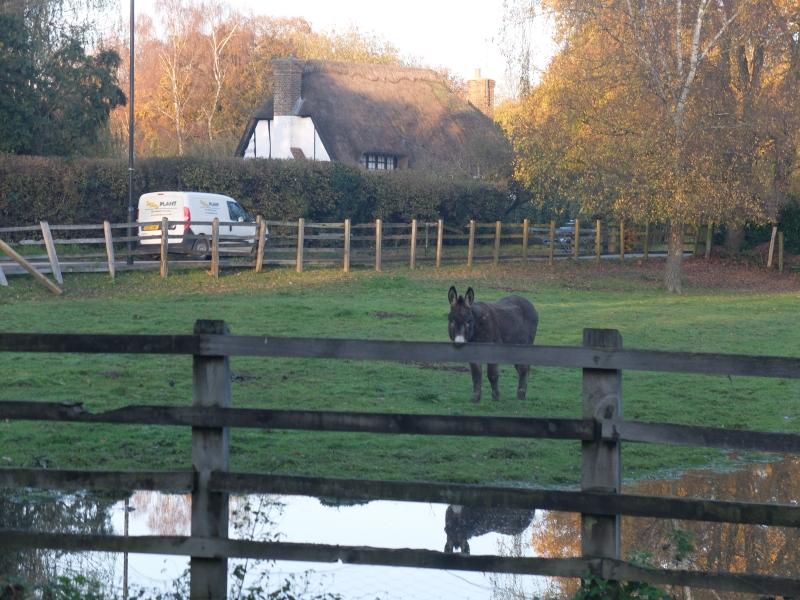
C16 restored timber framed building thought to have been a barn to Brookside.
Two storeys. The framing is exposed with some curved braces on the first floor and
pointed brick infilling. Very steeply pitched thatched roof with 2 dormers having
4 light mullions. External brick chimney-stack. Two casement windows. Doorcase
in recessed centre. Appears on Surrey County Council's Antiquities list.
Listing NGR: TQ2926139782
External links are from the relevant listing authority and, where applicable, Wikidata. Wikidata IDs may be related buildings as well as this specific building. If you want to add or update a link, you will need to do so by editing the Wikidata entry.


Other nearby listed buildings
