Latitude: 53.7571 / 53°45'25"N
Longitude: -2.7076 / 2°42'27"W
OS Eastings: 353440
OS Northings: 429208
OS Grid: SD534292
Mapcode National: GBR T8P.1B
Mapcode Global: WH85M.CTWK
Plus Code: 9C5VQ74R+VW
Entry Name: Fishergate Bridge
Listing Date: 20 December 1991
Grade: II
Source: Historic England
Source ID: 1209986
English Heritage Legacy ID: 391988
ID on this website: 101209986
Location: Broadgate, Preston, Lancashire, PR1
County: Lancashire
District: Preston
Electoral Ward/Division: University
Parish: Non Civil Parish
Built-Up Area: Preston
Traditional County: Lancashire
Lieutenancy Area (Ceremonial County): Lancashire
Church of England Parish: Preston St John and St George the Martyr
Church of England Diocese: Blackburn
Tagged with: Bridge
PRESTON
SD5329 FISHERGATE 941-1/6/107 Fishergate Bridge
GV II
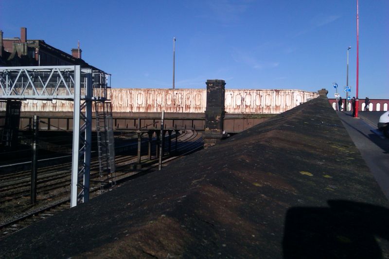
Road bridge over main railway lines. Later C19, extended. Sandstone ashlar and cast-iron. Very large rectangular piers, and high parapet of cast-iron panels. Entrance to central approach to station on south side. Included for group value only.
Listing NGR: SD5344029208
External links are from the relevant listing authority and, where applicable, Wikidata. Wikidata IDs may be related buildings as well as this specific building. If you want to add or update a link, you will need to do so by editing the Wikidata entry.


Other nearby listed buildings