Approximate Location Map
Large Map »
Latitude: 53.6602 / 53°39'36"N
Longitude: -1.7893 / 1°47'21"W
OS Eastings: 414023
OS Northings: 418208
OS Grid: SE140182
Mapcode National: GBR HVY3.FN
Mapcode Global: WHCB1.H86C
Plus Code: 9C5WM666+37
Entry Name: 62, Crescent Road
Listing Date: 29 September 1978
Grade: II
Source: Historic England
Source ID: 1210700
English Heritage Legacy ID: 339739
ID on this website: 101210700
Location: Birkby, Kirklees, West Yorkshire, HD2
County: Kirklees
Electoral Ward/Division: Greenhead
Parish: Non Civil Parish
Built-Up Area: Huddersfield
Traditional County: Yorkshire
Lieutenancy Area (Ceremonial County): West Yorkshire
Church of England Parish: St John the Evangelist Huddersfield
Church of England Diocese: Leeds
Tagged with: Building
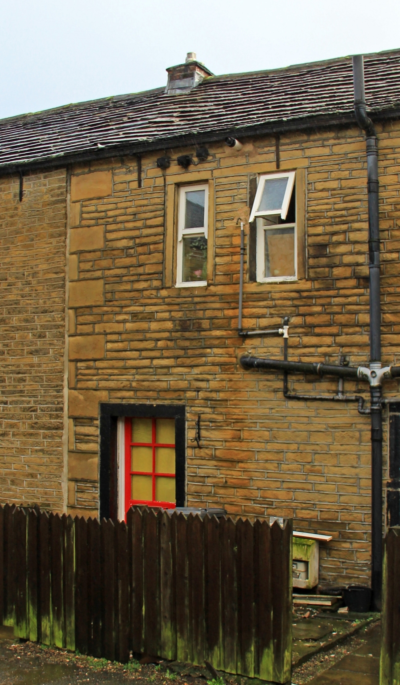
CRESCENT ROAD
1.
5113
(East Side)
Fartown
No 62
SE 1418 22/409
II GV
2.
C18 or early C19. Hammer-dressed stone. Pitched stone slate roof. 2 storeys.
One 3-light stone mullioned window on 1st floor. One 4-light stone mullioned
window on ground floor (2 mullions removed). Door to rear with 6 sunk panels.
Listing NGR: SE1402318208
External links are from the relevant listing authority and, where applicable, Wikidata. Wikidata IDs may be related buildings as well as this specific building. If you want to add or update a link, you will need to do so by editing the Wikidata entry.


Other nearby listed buildings
