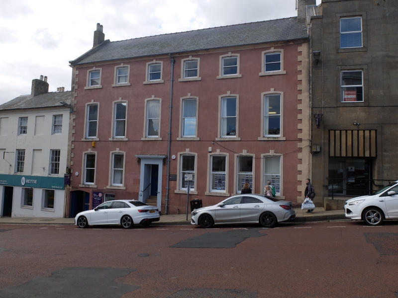
Latitude: 55.7681 / 55°46'5"N
Longitude: -2.0031 / 2°0'11"W
OS Eastings: 399905
OS Northings: 652755
OS Grid: NT999527
Mapcode National: GBR G1GR.43
Mapcode Global: WH9YK.68FX
Plus Code: 9C7VQX9W+7Q
Entry Name: Numbers 44 and 46 (Harvest House) and 48
Listing Date: 26 May 1971
Grade: II
Source: Historic England
Source ID: 1211361
English Heritage Legacy ID: 237378
ID on this website: 101211361
Location: Berwick-upon-Tweed, Northumberland, TD15
County: Northumberland
Civil Parish: Berwick-upon-Tweed
Built-Up Area: Berwick-upon-Tweed
Traditional County: Northumberland
Lieutenancy Area (Ceremonial County): Northumberland
Church of England Parish: Berwick Holy Trinity and St Mary
Church of England Diocese: Newcastle
Tagged with: Building
1. 840 HIDE HILL (West Side) Nos 44 & 46 (Harvest House) & 48 NT 9952 11/103 II GV 2. C18, much altered. Roughcast, 3 storeys and basement, gable scrolls, cornice, brick quoins etc.
Nos 2 to 36 (even) and 44 to 54 (even) form a group.
Listing NGR: NT9990552755
External links are from the relevant listing authority and, where applicable, Wikidata. Wikidata IDs may be related buildings as well as this specific building. If you want to add or update a link, you will need to do so by editing the Wikidata entry.


Other nearby listed buildings