Approximate Location Map
Large Map »
Latitude: 52.174 / 52°10'26"N
Longitude: -0.1704 / 0°10'13"W
OS Eastings: 525210
OS Northings: 254438
OS Grid: TL252544
Mapcode National: GBR J4M.RQF
Mapcode Global: VHGMP.0M88
Plus Code: 9C4X5RFH+JR
Entry Name: Cross in Churchyard East of Old Vicarage
Listing Date: 18 November 1983
Grade: II
Source: Historic England
Source ID: 1211706
English Heritage Legacy ID: 396225
ID on this website: 101211706
Location: Waresley, Huntingdonshire, Cambridgeshire, SG19
County: Cambridgeshire
District: Huntingdonshire
Civil Parish: Waresley-cum-Tetworth
Built-Up Area: Waresley
Traditional County: Huntingdonshire
Lieutenancy Area (Ceremonial County): Cambridgeshire
Church of England Parish: Waresley St James
Church of England Diocese: Ely
Tagged with: Monumental cross
TL 2454 WARESLEY VICARAGE ROAD
(North Side)
16/133 Cross in churchyard
- east of Old Vicarage
- II
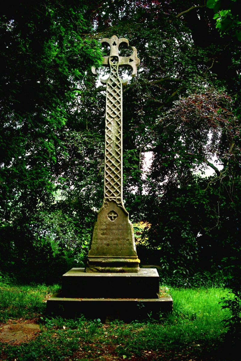
Limestone cross on plinth, on site of mediaeval church. 1856.
Cross with foliated ends and inscription to stepped base.
Listing NGR: TL2521054438
External links are from the relevant listing authority and, where applicable, Wikidata. Wikidata IDs may be related buildings as well as this specific building. If you want to add or update a link, you will need to do so by editing the Wikidata entry.


Other nearby listed buildings
