Approximate Location Map
Large Map »
Latitude: 52.0423 / 52°2'32"N
Longitude: -1.0177 / 1°1'3"W
OS Eastings: 467469
OS Northings: 238661
OS Grid: SP674386
Mapcode National: GBR 9X3.TTC
Mapcode Global: VHDSW.9XVS
Plus Code: 9C4W2XRJ+WW
Entry Name: Wolfe Obelisk North of Stowe House
Listing Date: 13 July 1966
Grade: I
Source: Historic England
Source ID: 1211785
English Heritage Legacy ID: 396301
ID on this website: 101211785
Location: Dadford, Buckinghamshire, MK18
County: Buckinghamshire
Civil Parish: Stowe
Traditional County: Buckinghamshire
Lieutenancy Area (Ceremonial County): Buckinghamshire
Church of England Parish: Stowe
Church of England Diocese: Oxford
Tagged with: Obelisk
SP 63 NE STOWE
3/95 Wolfe Obelisk North
of Stowe House
(formerly listed under
Stowe School)
13.7.66
GV I
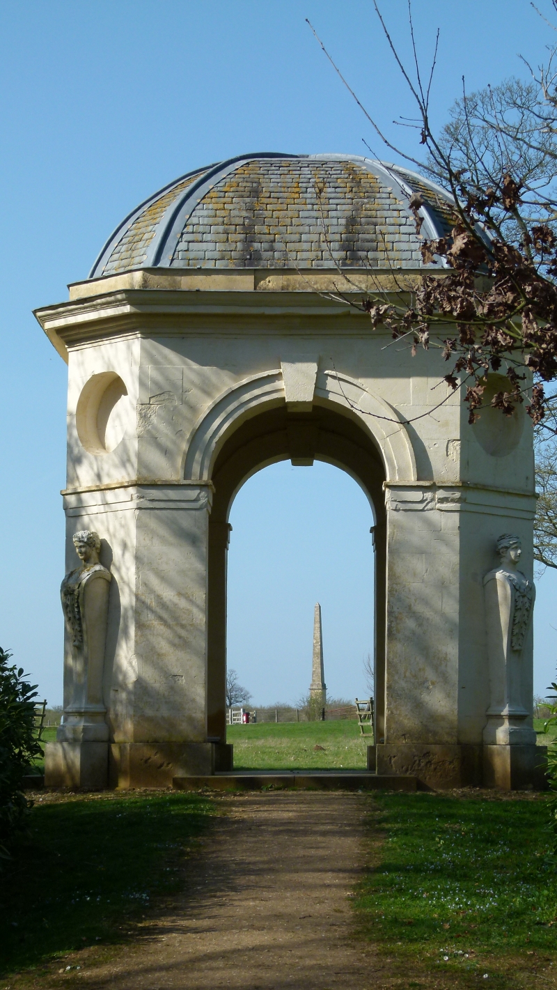
Tall ashlar stone obelisk on pedestal, probably formed c1760 from
Vanbrugh's "guglio" of 1722 located in the centre of the Octagan Lake to
the south of house. Not owned by Stowe School.
Listing NGR: SP6746938661
External links are from the relevant listing authority and, where applicable, Wikidata. Wikidata IDs may be related buildings as well as this specific building. If you want to add or update a link, you will need to do so by editing the Wikidata entry.


Other nearby listed buildings
