Approximate Location Map
Large Map »
Latitude: 53.6468 / 53°38'48"N
Longitude: -1.7892 / 1°47'20"W
OS Eastings: 414034
OS Northings: 416720
OS Grid: SE140167
Mapcode National: GBR HVY8.GG
Mapcode Global: WHCB1.HL7N
Plus Code: 9C5WJ6W6+P8
Entry Name: 11 and 13, Greenhead Road
Listing Date: 29 September 1978
Grade: II
Source: Historic England
Source ID: 1212756
English Heritage Legacy ID: 339910
ID on this website: 101212756
Location: Newtown, Kirklees, West Yorkshire, HD1
County: Kirklees
Electoral Ward/Division: Newsome
Parish: Non Civil Parish
Built-Up Area: Huddersfield
Traditional County: Yorkshire
Lieutenancy Area (Ceremonial County): West Yorkshire
Church of England Parish: Huddersfield St Peter
Church of England Diocese: Leeds
Tagged with: Building
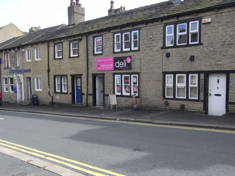
GREENHEAD ROAD
1.
5113
(South Side)
Nos 11 and 13
SE 1416 NW 1/581
II GV
2.
C18 or early C19. Hammer-dressed stone. Pitched stone slate roof. Red brick
stack. 2 storeys. One 1st floor sash and 2 ranges of tripartite sashes.
Listing NGR: SE1403416720
External links are from the relevant listing authority and, where applicable, Wikidata. Wikidata IDs may be related buildings as well as this specific building. If you want to add or update a link, you will need to do so by editing the Wikidata entry.


Other nearby listed buildings
