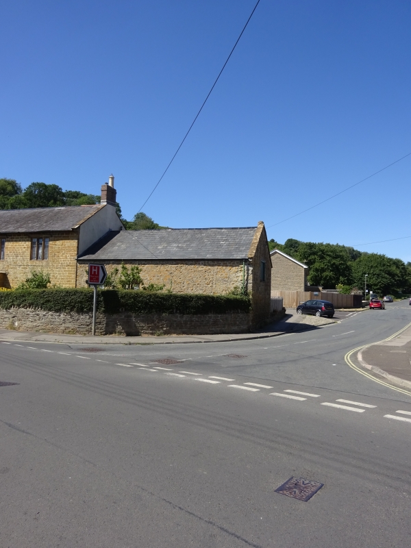
Latitude: 50.7399 / 50°44'23"N
Longitude: -2.7664 / 2°45'58"W
OS Eastings: 346017
OS Northings: 93650
OS Grid: SY460936
Mapcode National: GBR PN.ZW9F
Mapcode Global: FRA 5734.02V
Plus Code: 9C2VP6QM+XC
Entry Name: Barn to North West of Home Farm Cottage
Listing Date: 19 September 1975
Grade: II
Source: Historic England
Source ID: 1216320
English Heritage Legacy ID: 401659
ID on this website: 101216320
Location: Court Orchard, Dorset, DT6
County: Dorset
Civil Parish: Bridport
Built-Up Area: Bridport
Traditional County: Dorset
Lieutenancy Area (Ceremonial County): Dorset
Church of England Parish: Bridport St Mary
Church of England Diocese: Salisbury
Tagged with: Barn
1. 5191 NORTH ALLINGTON (West Side)
Barn to north-west of Home Farm Cottage SY 4693 5/310
II
2. Probably early or mid C19. Rubble. Pitched slate roof. 2 storeys. Double barn doors at south end. 1 loft door at north end. Wood mullioned window with diagonal lead glazing bars.
Listing NGR: SY4601793650
External links are from the relevant listing authority and, where applicable, Wikidata. Wikidata IDs may be related buildings as well as this specific building. If you want to add or update a link, you will need to do so by editing the Wikidata entry.


Other nearby listed buildings