Approximate Location Map
Large Map »
Latitude: 50.996 / 50°59'45"N
Longitude: -0.6363 / 0°38'10"W
OS Eastings: 495794
OS Northings: 122726
OS Grid: SU957227
Mapcode National: GBR FGC.FY1
Mapcode Global: FRA 96KH.1XN
Plus Code: 9C2XX9W7+9F
Entry Name: Upperton House
Listing Date: 26 November 1987
Grade: II
Source: Historic England
Source ID: 1217702
English Heritage Legacy ID: 412889
ID on this website: 101217702
Location: Upperton, Chichester, West Sussex, GU28
County: West Sussex
District: Chichester
Civil Parish: Tillington
Traditional County: Sussex
Lieutenancy Area (Ceremonial County): West Sussex
Church of England Parish: Tillington All Hallows
Church of England Diocese: Chichester
Tagged with: House
SU 9422-9522 TILLINGTON UPPERTON
25/20 Upperton House
-
GV II
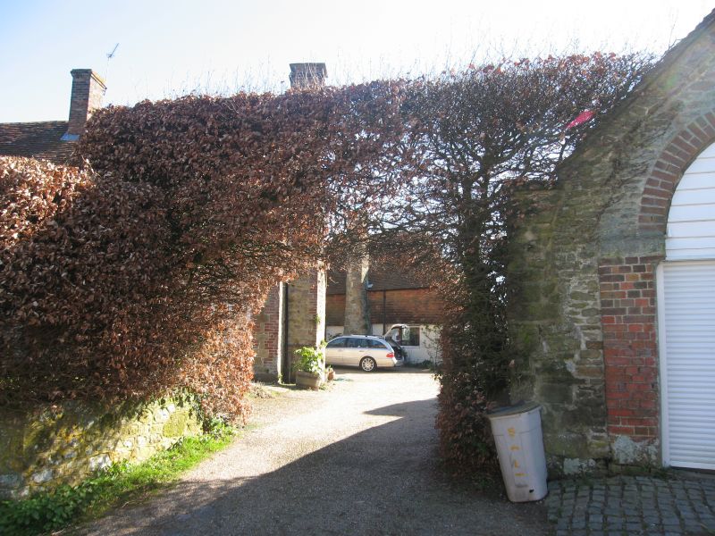
Once two cottages. Now one house, not a farmhouse. Probably C17, refaced with
stone rubble with red brick dressings and quoins, set in galletting. Tiled roof.
Casement windows. Stone chimney breast on west wall. Two storeys. Four
windows.
Listing NGR: SU9579422726
External links are from the relevant listing authority and, where applicable, Wikidata. Wikidata IDs may be related buildings as well as this specific building. If you want to add or update a link, you will need to do so by editing the Wikidata entry.


Other nearby listed buildings
