Latitude: 49.911 / 49°54'39"N
Longitude: -6.3225 / 6°19'20"W
OS Eastings: 89786
OS Northings: 10155
OS Grid: SV897101
Mapcode National: GBR BXSX.DV0
Mapcode Global: VGYC4.CHFM
Plus Code: 8CXMWM6H+92
Entry Name: Woolpack Batteries
Listing Date: 14 December 1992
Grade: II
Source: Historic England
Source ID: 1218945
English Heritage Legacy ID: 62528
ID on this website: 101218945
Location: Hugh Town, Isles of Scilly, Cornwall, TR21
County: Isles of Scilly
Civil Parish: St. Mary's
Built-Up Area: Hugh town
Lieutenancy Area (Ceremonial County): Cornwall
Church of England Parish: Isles of Scilly
Church of England Diocese: Truro
ST. MARY'S
SV81SE THE GARRISON, Hugh Town 1358-0/3/89 Woolpack Batteries
II
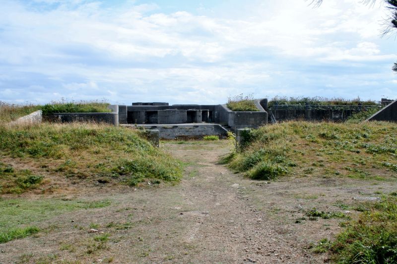
Two batteries. 1901. Concrete. Each of rectangular plan with rounded corners and surrounded by deep ditch. Each has 2 gun positions on top of a large earthwork and a concrete structure with magazines. Iron loopholes and gates, latter being loopholed and of 1.5cm armour plating. Part of an abortive scheme to turn the islands into a fleet anchorage, but the notoriously shallow water within the islands would always have prevented a south-west counterpart to Scapa Flow. (Saunders, A: Fortress Britain: Liphook: 1989-: 192).
Listing NGR: SV8978610155


Other nearby listed buildings