Latitude: 52.9009 / 52°54'3"N
Longitude: -2.1435 / 2°8'36"W
OS Eastings: 390441
OS Northings: 333725
OS Grid: SJ904337
Mapcode National: GBR 15Q.4W1
Mapcode Global: WHBDF.1BJY
Plus Code: 9C4VWV24+9H
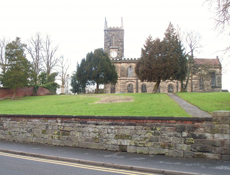
Entry Name: Wall to South of South West of Church of St Michael
Listing Date: 27 July 1972
Last Amended: 24 January 1992
Grade: II
Source: Historic England
Source ID: 1219160
English Heritage Legacy ID: 386013
ID on this website: 101219160
Location: St Michael's Church, Stone, Stafford, Staffordshire, ST15
County: Staffordshire
District: Stafford
Civil Parish: Stone
Built-Up Area: Stone
Traditional County: Staffordshire
Lieutenancy Area (Ceremonial County): Staffordshire
Church of England Parish: Stone St Michael and St Wulfad
Church of England Diocese: Lichfield
Tagged with: Wall
STONE
SJ9033 LICHFIELD STREET, Stone 651-1/7/40 (North side) 27/07/72 Wall to S and SW of Church of St Michael (Formerly Listed as: Churchyard walls and gatepiers of St Michael's Church)
GV II
Wall: extending approx. 48m along south side of churchyard, with return of approx. 75m north along boundary of Mansion House, returned east for approx. 19m to south side of Granville burying ground, and return of approx. 45m north and approx. 31m west along boundary of The Priory (q.v.). Date of origin uncertain, with C18 and C19 rebuilding. Coursed squared stone and brick with ashlar. Lower part of wall is of C18 brick and upper part is of early C19 brick with chamfered ashlar coping, that part along boundary of The Priory on stone footings; that part along boundary of the Mansion House has chamfered brick coping; central section is low, of coursed squared stone, with C20 gate to east end. The Augustinian Priory of SS Mary and Wulfad, founded c1135, stood on this site. (Buildings of England: N.Pevsner: Staffordshire: London: 1974-: 267).
Listing NGR: SJ9044133724
External links are from the relevant listing authority and, where applicable, Wikidata. Wikidata IDs may be related buildings as well as this specific building. If you want to add or update a link, you will need to do so by editing the Wikidata entry.


Other nearby listed buildings