Latitude: 50.2236 / 50°13'24"N
Longitude: -4.9162 / 4°54'58"W
OS Eastings: 192081
OS Northings: 40022
OS Grid: SW920400
Mapcode National: GBR ZP.Y1WL
Mapcode Global: FRA 08LF.NJP
Plus Code: 9C2Q63FM+CG
Entry Name: White Lodge
Listing Date: 30 May 1967
Grade: II
Source: Historic England
Source ID: 1219635
English Heritage Legacy ID: 393644
ID on this website: 101219635
Location: Veryan Green, Cornwall, TR2
County: Cornwall
Civil Parish: Veryan
Traditional County: Cornwall
Lieutenancy Area (Ceremonial County): Cornwall
Church of England Parish: Veryan
Church of England Diocese: Truro
Tagged with: Gatehouse
SW 94 SW VERYAN VERYAN GREEN
5/168 White Lodge - 30-5-67 - II
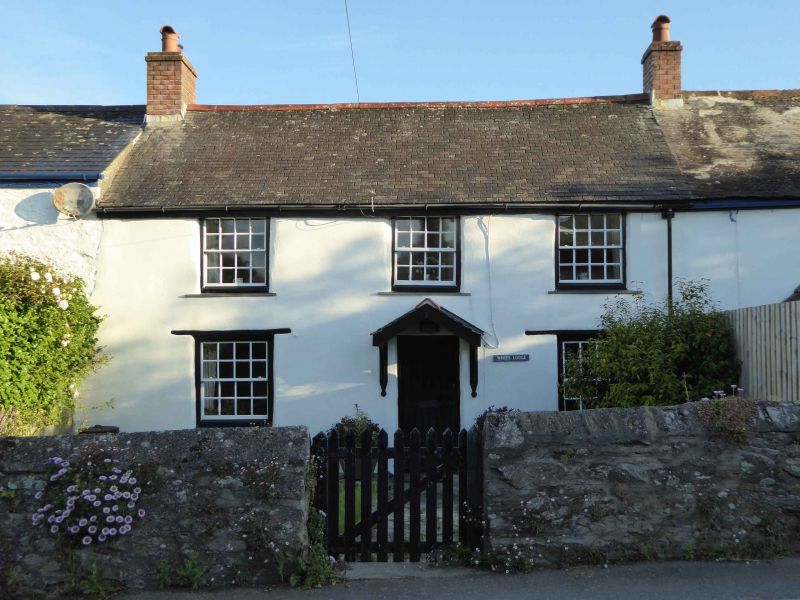
Small terraced house. C18. Painted render, possibly cob walls. Scantle slate roof with shared brick chimney. Lower left gable end. Chimney removed right. 2 room plan. 2 storeys. 3 window front. Planked door off centre to right. Gable hood on brackets. Window over. All windows hornless 16-paned sashes. Wooden lintels. Much old glass. Interior not inspected.
Listing NGR: SW9208140022
External links are from the relevant listing authority and, where applicable, Wikidata. Wikidata IDs may be related buildings as well as this specific building. If you want to add or update a link, you will need to do so by editing the Wikidata entry.


Other nearby listed buildings