Approximate Location Map
Large Map »
Latitude: 50.8112 / 50°48'40"N
Longitude: -0.5128 / 0°30'45"W
OS Eastings: 504878
OS Northings: 102346
OS Grid: TQ048023
Mapcode National: GBR GL5.35T
Mapcode Global: FRA 96TY.G1V
Plus Code: 9C2XRF6P+FV
Entry Name: Elm Farm
Listing Date: 20 September 1984
Grade: II
Source: Historic England
Source ID: 1221548
English Heritage Legacy ID: 298053
ID on this website: 101221548
Location: Rustington, Arun, West Sussex, BN16
County: West Sussex
District: Arun
Civil Parish: Rustington
Built-Up Area: Littlehampton
Traditional County: Sussex
Lieutenancy Area (Ceremonial County): West Sussex
Church of England Parish: Rushington
Church of England Diocese: Chichester
Tagged with: Agricultural structure
TQ 0502 RUSTINGTON THE STREET
26/155 (north side)
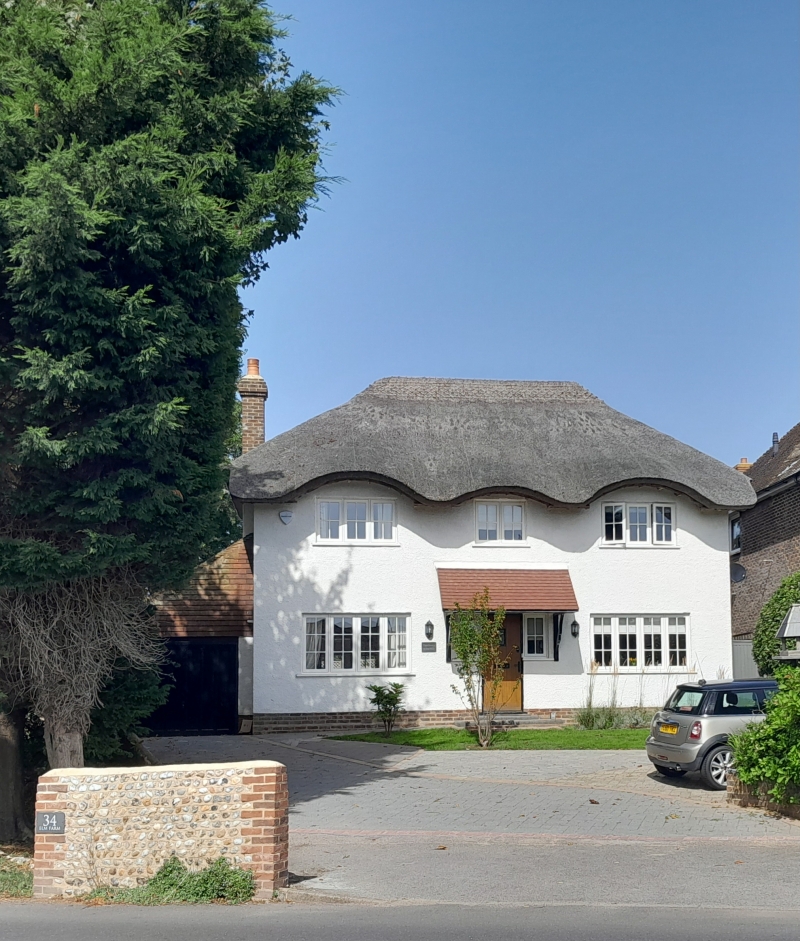
No 34 (Elm Farm)
II
Not a farmhouse. Early C19. Two storeys. Six windows. Stuccoed. Hipped slate
roof. Windows with Venetian shutters and glazing bars intact. Ground floor built out
with slate roof and recessed porch in the centre.
Listing NGR: TQ0487802346
External links are from the relevant listing authority and, where applicable, Wikidata. Wikidata IDs may be related buildings as well as this specific building. If you want to add or update a link, you will need to do so by editing the Wikidata entry.


Other nearby listed buildings
