Approximate Location Map
Large Map »
Latitude: 51.0522 / 51°3'7"N
Longitude: 0.4574 / 0°27'26"E
OS Eastings: 572334
OS Northings: 130968
OS Grid: TQ723309
Mapcode National: GBR PTN.VX4
Mapcode Global: FRA C6VB.N18
Plus Code: 9F323F24+VX
Entry Name: Mount Pleasant Farmhouse
Listing Date: 13 May 1987
Grade: II
Source: Historic England
Source ID: 1222289
English Heritage Legacy ID: 414432
ID on this website: 101222289
Location: Flimwell, Rother, East Sussex, TN5
County: East Sussex
District: Rother
Civil Parish: Ticehurst
Traditional County: Sussex
Lieutenancy Area (Ceremonial County): East Sussex
Church of England Parish: Flimwell St Augustine of Canterbury
Church of England Diocese: Chichester
Tagged with: Farmhouse
TQ 73 SW TICEHURST HAWKHURST ROAD
Flimwell
2/16
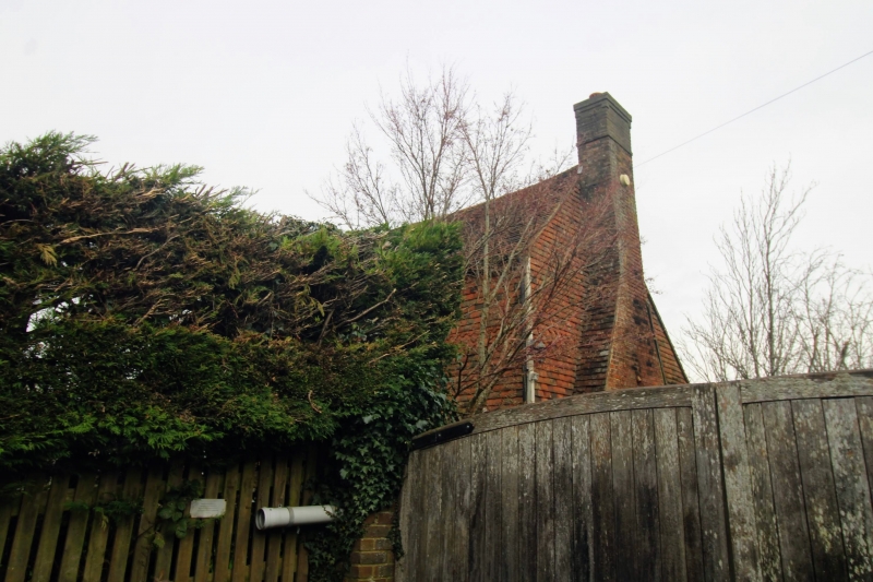
Mount Pleasant Farmhouse
II
C18. Two storeys. Three windows. Tile-hung. Tiled roof. Casement windows.
Listing NGR: TQ7233430968
External links are from the relevant listing authority and, where applicable, Wikidata. Wikidata IDs may be related buildings as well as this specific building. If you want to add or update a link, you will need to do so by editing the Wikidata entry.


Other nearby listed buildings
