Approximate Location Map
Large Map »
Latitude: 50.8425 / 50°50'33"N
Longitude: -0.6412 / 0°38'28"W
OS Eastings: 495766
OS Northings: 105659
OS Grid: SU957056
Mapcode National: GBR FJ9.0QH
Mapcode Global: FRA 96KW.01G
Plus Code: 9C2XR9V5+2G
Entry Name: Choller Farmhouse
Listing Date: 20 September 1984
Grade: II
Source: Historic England
Source ID: 1222292
English Heritage Legacy ID: 413996
ID on this website: 101222292
Location: Eastergate, Arun, West Sussex, BN18
County: West Sussex
District: Arun
Civil Parish: Walberton
Built-Up Area: Westergate
Traditional County: Sussex
Lieutenancy Area (Ceremonial County): West Sussex
Church of England Parish: Walberton
Church of England Diocese: Chichester
Tagged with: Farmhouse
SU 90NE WALBERTON BARNHAM LANE
8/388
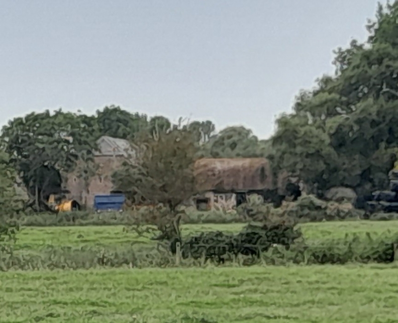
Choller Farmhouse
II
C18. Two storeys. Three windows. Faced with Roman cement. Tiled roof. Glazing
bars intact. Doorway with flat hood over and door of six fielded panels.
Listing NGR: SU9576605659
External links are from the relevant listing authority and, where applicable, Wikidata. Wikidata IDs may be related buildings as well as this specific building. If you want to add or update a link, you will need to do so by editing the Wikidata entry.


Other nearby listed buildings
