Approximate Location Map
Large Map »
Latitude: 51.3598 / 51°21'35"N
Longitude: 1.444 / 1°26'38"E
OS Eastings: 639861
OS Northings: 167935
OS Grid: TR398679
Mapcode National: GBR X07.RVX
Mapcode Global: VHMCW.Z27X
Plus Code: 9F339C5V+WH
Entry Name: 7, Union Square
Listing Date: 20 September 1974
Grade: II
Source: Historic England
Source ID: 1223067
English Heritage Legacy ID: 418497
ID on this website: 101223067
Location: Broadstairs, Thanet, Kent, CT10
County: Kent
District: Thanet
Civil Parish: Broadstairs and St. Peters
Built-Up Area: Broadstairs
Traditional County: Kent
Lieutenancy Area (Ceremonial County): Kent
Tagged with: Building
UNION SQUARE
1.
5283
BROADSTAIRS
No 7
TR 3967 NE 1/176
II GV
2.
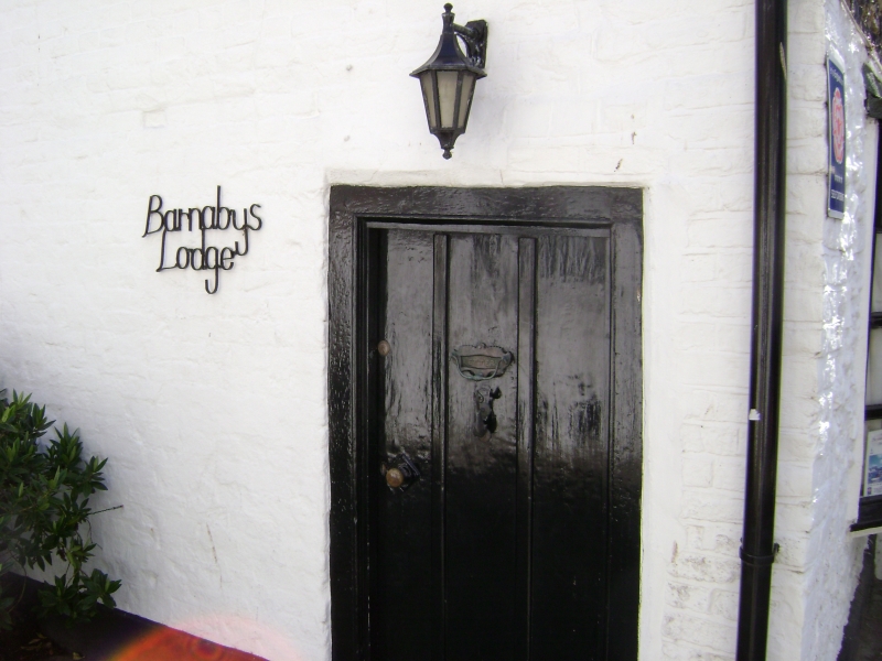
Early to mid C19, The front elevation is of painted brick. The side elevation
is of flint. Pantiled roof. The front elevation has 1 sash with glazing bars
intact. Simple doorcase in wooden architrave surround.
Nos 1 to 7 (consec) form a group.
Listing NGR: TR3986167935
External links are from the relevant listing authority and, where applicable, Wikidata. Wikidata IDs may be related buildings as well as this specific building. If you want to add or update a link, you will need to do so by editing the Wikidata entry.


Other nearby listed buildings
