Approximate Location Map
Large Map »
Latitude: 51.5009 / 51°30'3"N
Longitude: -0.2054 / 0°12'19"W
OS Eastings: 524663
OS Northings: 179527
OS Grid: TQ246795
Mapcode National: GBR C9.0X8
Mapcode Global: VHGQY.DJ9Q
Plus Code: 9C3XGQ2V+9V
Entry Name: Lodge
Listing Date: 15 April 1969
Grade: II
Source: Historic England
Source ID: 1223781
English Heritage Legacy ID: 419642
ID on this website: 101223781
Location: Kensington, Kensington and Chelsea, London, W14
County: London
District: Kensington and Chelsea
Electoral Ward/Division: Holland
Parish: Non Civil Parish
Built-Up Area: Kensington and Chelsea
Traditional County: Middlesex
Lieutenancy Area (Ceremonial County): Greater London
Church of England Parish: St Barnabas Addison Road
Church of England Diocese: London
Tagged with: Gatehouse
TQ 2479 NE KENSINGTON HIGH STREET W8
29/12
15.4.69 Lodge
II
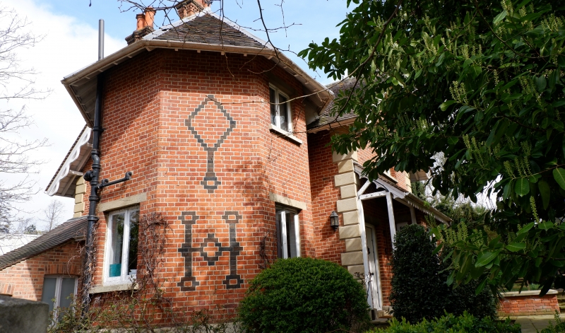
Lodge. Mid C19. Two storeys. 'L' shaped with octagonal tower in angle. Red brick
with black patterning and 2-coloured tiled roof, with carved bargeboards to gables.
Two tall chimneys.
Listing NGR: TQ2466379527
External links are from the relevant listing authority and, where applicable, Wikidata. Wikidata IDs may be related buildings as well as this specific building. If you want to add or update a link, you will need to do so by editing the Wikidata entry.


Other nearby listed buildings
