Approximate Location Map
Large Map »
Latitude: 51.4801 / 51°28'48"N
Longitude: 0.4146 / 0°24'52"E
OS Eastings: 567766
OS Northings: 178449
OS Grid: TQ677784
Mapcode National: GBR NM7.3NL
Mapcode Global: VHJLD.42J5
Plus Code: 9F32FCJ7+2R
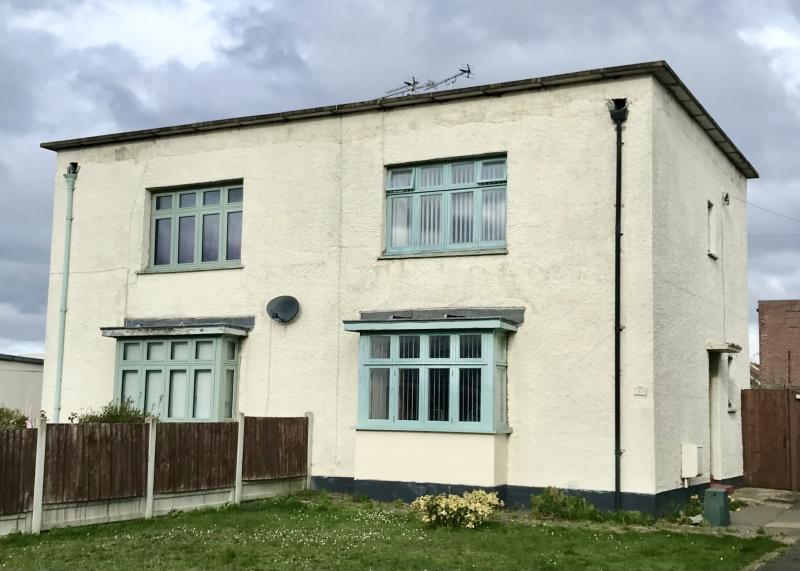
Entry Name: 32 and 34, Bata Avenue
Listing Date: 10 December 1993
Grade: II
Source: Historic England
Source ID: 1224061
English Heritage Legacy ID: 420029
ID on this website: 101224061
Location: East Tilbury, Thurrock, Essex, RM18
County: Thurrock
Electoral Ward/Division: East Tilbury
Parish: Non Civil Parish
Built-Up Area: East Tilbury
Traditional County: Essex
Lieutenancy Area (Ceremonial County): Essex
Church of England Parish: East and West Tilbury and Linford
Church of England Diocese: Chelmsford
Tagged with: Building
TQ 67 NE BATA AVENUE
East Tilbury
11/10007 Nos 32 and 34 (even)
GV II
Identical to nos 4 and 6 Bata Avenue. Forms a group with nos 2-34 (even) Bata Avenue.
Listing NGR: TQ6776678449
External links are from the relevant listing authority and, where applicable, Wikidata. Wikidata IDs may be related buildings as well as this specific building. If you want to add or update a link, you will need to do so by editing the Wikidata entry.


Other nearby listed buildings
