Latitude: 53.6514 / 53°39'5"N
Longitude: -1.7931 / 1°47'35"W
OS Eastings: 413774
OS Northings: 417230
OS Grid: SE137172
Mapcode National: GBR HVX6.LT
Mapcode Global: WHCB1.FHD3
Plus Code: 9C5WM624+HQ
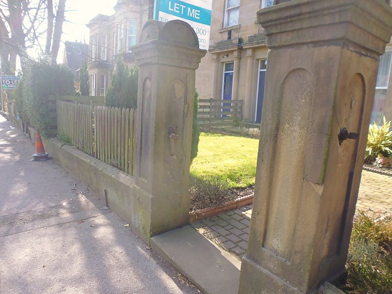
Entry Name: Gatepiers to Numbers 77 and 79
Listing Date: 29 September 1978
Grade: II
Source: Historic England
Source ID: 1228850
English Heritage Legacy ID: 403565
ID on this website: 101228850
Location: Newtown, Kirklees, West Yorkshire, HD1
County: Kirklees
Electoral Ward/Division: Greenhead
Parish: Non Civil Parish
Built-Up Area: Huddersfield
Traditional County: Yorkshire
Lieutenancy Area (Ceremonial County): West Yorkshire
Church of England Parish: Huddersfield Holy Trinity
Church of England Diocese: Leeds
Tagged with: Gatepost
NEW NORTH ROAD 1. 5113 (South Side) Highfield Gatepiers to Nos 77 and 79 SE 1317 27/1012 GV II Mid C19. 2 pairs. Ashlar. Round-headed sunk panels. Cornices. Semi-circular caps.
Listing NGR: SE1377417230
External links are from the relevant listing authority and, where applicable, Wikidata. Wikidata IDs may be related buildings as well as this specific building. If you want to add or update a link, you will need to do so by editing the Wikidata entry.


Other nearby listed buildings