Latitude: 50.7113 / 50°42'40"N
Longitude: -2.76 / 2°45'35"W
OS Eastings: 346436
OS Northings: 90461
OS Grid: SY464904
Mapcode National: GBR PP.1QKC
Mapcode Global: FRA 5736.8LH
Plus Code: 9C2VP66R+G2
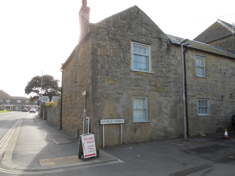
Entry Name: Wall from No 6 As Far South As Garden of Harbour Cottage
Listing Date: 19 September 1975
Grade: II
Source: Historic England
Source ID: 1229010
English Heritage Legacy ID: 403401
ID on this website: 101229010
Location: West Bay, Dorset, DT6
County: Dorset
Civil Parish: Bridport
Built-Up Area: Bridport
Traditional County: Dorset
Lieutenancy Area (Ceremonial County): Dorset
Church of England Parish: Bridport St Mary
Church of England Diocese: Salisbury
Tagged with: Wall
1.
5191 WEST BAY
WEST OF WEST BAY ROAD
AND NORTH OF THE HARBOUR
Wall from No 6 as far south
as garden of Harbour Cottage
SY 4690 10/495
II
2.
C19. Hammer dressed stone.
Listing NGR: SY4643690461
External links are from the relevant listing authority and, where applicable, Wikidata. Wikidata IDs may be related buildings as well as this specific building. If you want to add or update a link, you will need to do so by editing the Wikidata entry.


Other nearby listed buildings