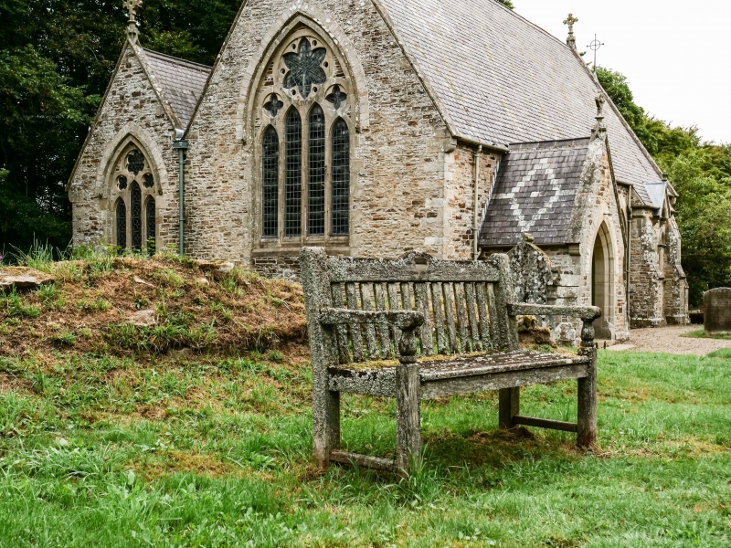
Latitude: 54.8358 / 54°50'8"N
Longitude: -2.0813 / 2°4'52"W
OS Eastings: 394878
OS Northings: 549003
OS Grid: NY948490
Mapcode National: GBR FDXJ.68
Mapcode Global: WHB2Z.0Q64
Plus Code: 9C6VRWP9+8F
Entry Name: Tower in Churchyard of Church of St James
Listing Date: 31 January 1967
Last Amended: 5 June 1987
Grade: II
Source: Historic England
Source ID: 1229336
English Heritage Legacy ID: 404176
ID on this website: 101229336
Location: St James's Church, Hunstanworth, County Durham, DH8
County: County Durham
Civil Parish: Hunstanworth
Traditional County: Durham
Lieutenancy Area (Ceremonial County): County Durham
Church of England Parish: Blanchland with Hunstanworth
Church of England Diocese: Newcastle
HUNSTANWORTH HUNSTANWORTH NY 94 NW 4/59 (inset) Tower in churchyard 31.1.67 of Church of St. James (formerly listed as part of Church of St. James) GV II
Tower. Probably C16. Several courses of sandstone rubble up to 2 metres high; rectangular plan with open east end and blocked door in west end. Interior has wall along south side 1½ metres from external wall; part of barrel vault visible.
A scheduled ancient monument.
Listing NGR: NY9487849003


Other nearby listed buildings