Latitude: 52.7518 / 52°45'6"N
Longitude: -1.0835 / 1°5'0"W
OS Eastings: 461957
OS Northings: 317520
OS Grid: SK619175
Mapcode National: GBR 9MH.GWW
Mapcode Global: WHFK3.B398
Plus Code: 9C4WQW28+PJ
Entry Name: Barn and Outbuildings at Number 8 (Park Farmhouse)
Listing Date: 12 October 1984
Grade: II
Source: Historic England
Source ID: 1230529
English Heritage Legacy ID: 405441
ID on this website: 101230529
Location: Seagrave, Charnwood, Leicestershire, LE12
County: Leicestershire
District: Charnwood
Civil Parish: Seagrave
Built-Up Area: Seagrave
Traditional County: Leicestershire
Lieutenancy Area (Ceremonial County): Leicestershire
Church of England Parish: Seagrave All Saints
Church of England Diocese: Leicester
Tagged with: Barn
SEAGRAVE
SK 61 NW CHURCH STREET (East Side) 4/133 Barn and outbuildings at No. 8 (Park Farmhouse)
GV II
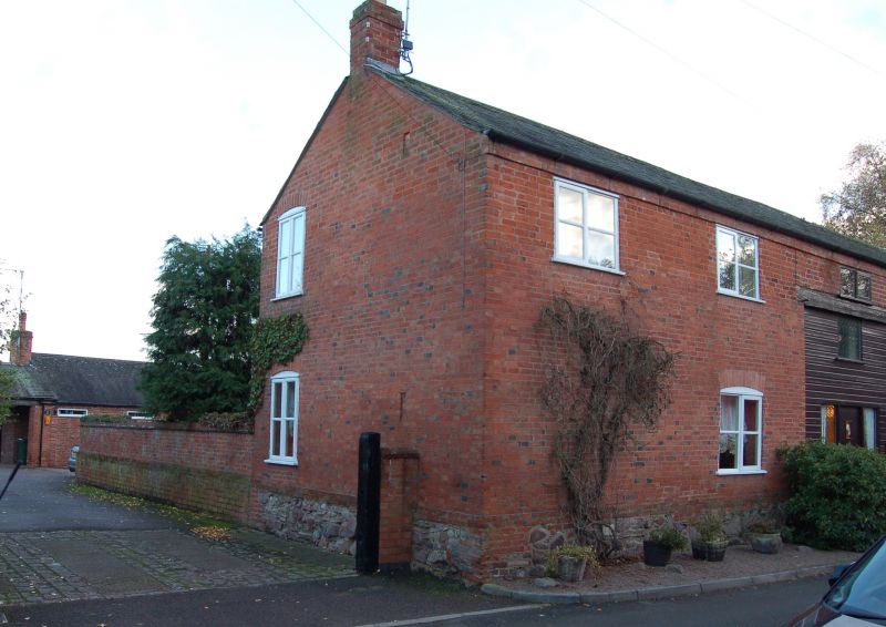
Barn and outbuildings. c1800. Red brick, the barn with granite rubble stone plinth and outbuildings with brick dentilled eaves, and Welsh slate roof to barn and 1 outbuilding, Swithland slate to other 2. Barn, facing Church Street, has large central doorway with pair of plank doors. To left are 3 ventilation diamonds with 2 2-light horizontal sliding sash windows over, the sash to left missing. 2 loopholes to right and 4 similar on right end, facing Butcher's Lane. Extending down the land the 3 outbuildings, walls blank except for 3-light window in outbuilding to left, and 2-light in central outbuilding.
Listing NGR: SK6195717520
External links are from the relevant listing authority and, where applicable, Wikidata. Wikidata IDs may be related buildings as well as this specific building. If you want to add or update a link, you will need to do so by editing the Wikidata entry.


Other nearby listed buildings