Approximate Location Map
Large Map »
Latitude: 51.5019 / 51°30'6"N
Longitude: -0.1746 / 0°10'28"W
OS Eastings: 526794
OS Northings: 179684
OS Grid: TQ267796
Mapcode National: GBR 4H.ZS
Mapcode Global: VHGQY.XJK0
Plus Code: 9C3XGR2G+Q5
Entry Name: Gates and Gatepiers to Alexandra Gate
Listing Date: 14 January 1970
Grade: II
Source: Historic England
Source ID: 1231494
English Heritage Legacy ID: 406536
ID on this website: 101231494
Location: Knightsbridge, Westminster, London, SW7
County: London
District: City of Westminster
Electoral Ward/Division: Knightsbridge and Belgravia
Parish: Non Civil Parish
Built-Up Area: City of Westminster
Traditional County: Middlesex
Lieutenancy Area (Ceremonial County): Greater London
Church of England Parish: Holy Trinity South Kensington
Church of England Diocese: London
Tagged with: Gate
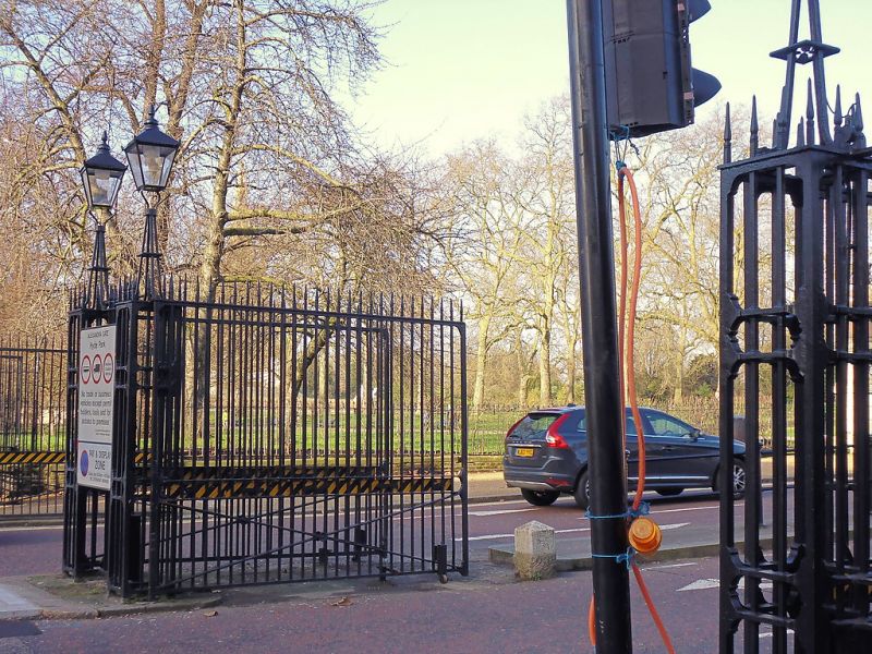
TQ 2679 NE CITY OR WESTMINSTER HYDE PARK, W2
85/22
Gates and gatepiers to
14.1.70 Alexandra Gate.
GV II
Gates and gatepiers. Early/mid C19. Stone classical gatepiers. Wrought iron
gates. Part of group with Alexandra Lodge.
Listing NGR: TQ2679479683
External links are from the relevant listing authority and, where applicable, Wikidata. Wikidata IDs may be related buildings as well as this specific building. If you want to add or update a link, you will need to do so by editing the Wikidata entry.


Other nearby listed buildings
