Latitude: 51.1509 / 51°9'3"N
Longitude: 0.983 / 0°58'58"E
OS Eastings: 608721
OS Northings: 143297
OS Grid: TR087432
Mapcode National: GBR SY5.WXD
Mapcode Global: VHKKQ.0B1L
Plus Code: 9F325X2M+86
Entry Name: Bulltown Farmhouse
Listing Date: 13 October 1952
Grade: II
Source: Historic England
Source ID: 1232633
English Heritage Legacy ID: 408006
ID on this website: 101232633
Location: Ashford, Kent, TN25
County: Kent
District: Ashford
Civil Parish: Brabourne
Traditional County: Kent
Lieutenancy Area (Ceremonial County): Kent
Tagged with: Farmhouse
TR 04 SE BRABOURNE BULLTOWN LANE (west side)
4/5 Bulltown Farmhouse 13.10.52
GV II
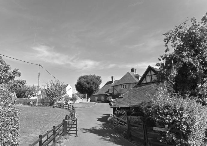
House. Mid C16 and C18. Timber framed, part with exposed close studding with plaster infill, part clad with red brick and painted brick, the upper floors tile hung. Extended to rear with red brick. Plain tiled roof. Three part cross passage plan, the parlour wing destroyed, with rear wing. Two storeys and attic on ragstone plinth with continuous jetty with moulded bressumer, on brackets to left and centre, and on dragon post to right. Hipped roof with 2 hipped dormers and central stack cluster. Two 3 light wooden casements on each floor with small central light on 1st floor, and central panelled door in moulded architrave. Originally jettied also to right return, the ground floor now built out. Single storey and attic rear wing with hipped roof and large central stack. Interior: very large inglenook fireplace in rear range. Four centred arched doorway, not quite in line with front entrance. Chamfered stopped beams. Reported mullioned windows behind tile hanging, and lined chamber between floors. (See Igglesden, 10,1913, 23).
Listing NGR: TR0872143297
External links are from the relevant listing authority and, where applicable, Wikidata. Wikidata IDs may be related buildings as well as this specific building. If you want to add or update a link, you will need to do so by editing the Wikidata entry.


Other nearby listed buildings