Latitude: 51.0138 / 51°0'49"N
Longitude: -3.0964 / 3°5'47"W
OS Eastings: 323181
OS Northings: 124392
OS Grid: ST231243
Mapcode National: GBR M1.JHC5
Mapcode Global: FRA 46DF.PHM
Plus Code: 9C3R2W73+GC
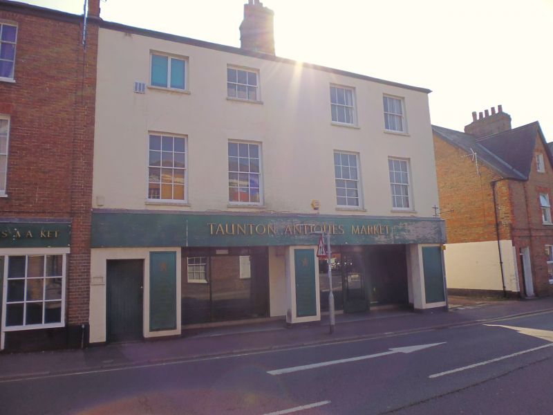
Entry Name: 27 and 29, Silver Street
Listing Date: 4 July 1975
Grade: II
Source: Historic England
Source ID: 1233721
English Heritage Legacy ID: 269877
ID on this website: 101233721
Location: Firepool, Somerset, TA1
County: Somerset
District: Somerset West and Taunton
Electoral Ward/Division: Taunton Eastgate
Parish: Taunton
Built-Up Area: Taunton
Traditional County: Somerset
Lieutenancy Area (Ceremonial County): Somerset
Tagged with: Building
1. SILVER STREET 5365 (East Side) Nos 27 & 29 ST 2324 SW 14/351 II GV 2. South end of a short terrace of 3 storey houses, circa 1800. Fainted brick. Slate roof. Sash windows with glazing bars. Modern shop fronts. Included for group value.
Baptist Church, gatepiers and walls to forecourt, and Nos 2a to 29 (odd) Silver Street form a group.
Listing NGR: ST2318124392
External links are from the relevant listing authority and, where applicable, Wikidata. Wikidata IDs may be related buildings as well as this specific building. If you want to add or update a link, you will need to do so by editing the Wikidata entry.


Other nearby listed buildings