Approximate Location Map
Large Map »
Latitude: 51.2879 / 51°17'16"N
Longitude: 0.3501 / 0°21'0"E
OS Eastings: 563971
OS Northings: 156930
OS Grid: TQ639569
Mapcode National: GBR NPG.59V
Mapcode Global: VHJM4.0WXK
Plus Code: 9F3279Q2+52
Entry Name: Little Comp Farmhouse
Listing Date: 30 May 1984
Grade: II
Source: Historic England
Source ID: 1236030
English Heritage Legacy ID: 426943
ID on this website: 101236030
Location: Tonbridge and Malling, Kent, TN15
County: Kent
District: Tonbridge and Malling
Civil Parish: Offham
Traditional County: Kent
Lieutenancy Area (Ceremonial County): Kent
Church of England Parish: Offham St Michael
Church of England Diocese: Rochester
Tagged with: Farmhouse
TQ 65 NW
5/26
OFFHAM C.P.
COMP LANE
(LITTLE COMP)
(south side)
Little Comp Farmhouse
II
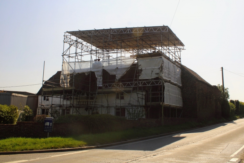
Farmhouse. C16. Painted brick ground-floor, rendered above. Plain tiled roof,
half-hipped to left, with centre stack and right end stack with projecting breast.
2 storeys with plat band above ground-floor; 4 windows, wooden casements.
Half-glazed and panelled door off-centre to right.
Listing NGR: TQ6397156930
External links are from the relevant listing authority and, where applicable, Wikidata. Wikidata IDs may be related buildings as well as this specific building. If you want to add or update a link, you will need to do so by editing the Wikidata entry.


Other nearby listed buildings
