Latitude: 51.305 / 51°18'18"N
Longitude: 0.309 / 0°18'32"E
OS Eastings: 561049
OS Northings: 158745
OS Grid: TQ610587
Mapcode National: GBR Y9.QKM
Mapcode Global: VHHPN.9GQD
Plus Code: 9F328845+2J
Entry Name: The Hollies
Listing Date: 30 May 1984
Grade: II
Source: Historic England
Source ID: 1236288
English Heritage Legacy ID: 427248
ID on this website: 101236288
Location: Wrotham, Tonbridge and Malling, Kent, TN15
County: Kent
District: Tonbridge and Malling
Civil Parish: Wrotham
Built-Up Area: Wrotham
Traditional County: Kent
Lieutenancy Area (Ceremonial County): Kent
Church of England Parish: Wrotham St George
Church of England Diocese: Rochester
Tagged with: Architectural structure
TQ 65 NW WROTHAM C.P. BOROUGH GREEN ROAD 5/5 (east side)
The Hollies
II
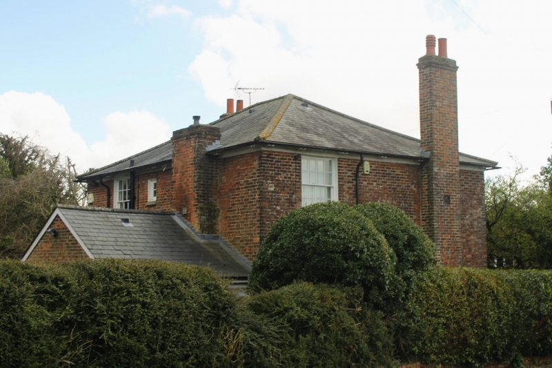
House. Dated 1806. Red brick with blue headers. Low pitched pyramidal hipped slate roof with end stacks. 2 storeys; symmetrical 3-bay facade, glazing bar sashes. Central panelled door with fanlight in fluted pilaster frame with panelled reveals, entablature with triglyph frieze and flat projecting hood. Metal plate on west stack: J J M 1806
Listing NGR: TQ6104958745
External links are from the relevant listing authority and, where applicable, Wikidata. Wikidata IDs may be related buildings as well as this specific building. If you want to add or update a link, you will need to do so by editing the Wikidata entry.


Other nearby listed buildings