Approximate Location Map
Large Map »
Latitude: 53.6482 / 53°38'53"N
Longitude: -1.7794 / 1°46'45"W
OS Eastings: 414682
OS Northings: 416873
OS Grid: SE146168
Mapcode National: GBR JV07.KZ
Mapcode Global: WHCB1.MKWL
Plus Code: 9C5WJ6XC+77
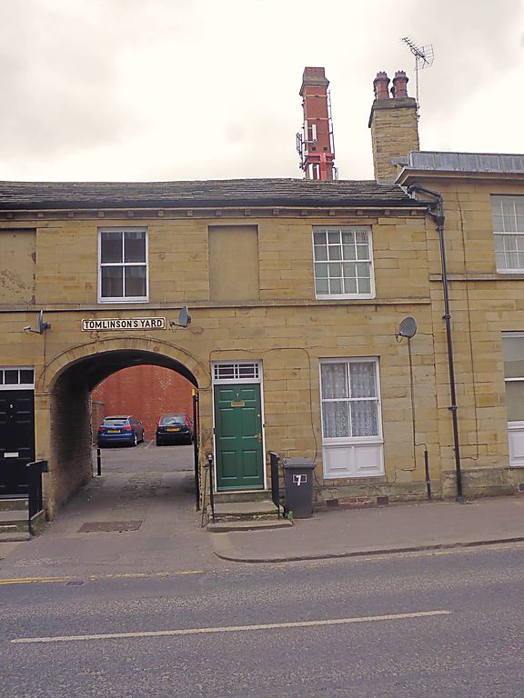
Entry Name: 7, Southgate
Listing Date: 29 September 1978
Grade: II
Source: Historic England
Source ID: 1238420
English Heritage Legacy ID: 415928
ID on this website: 101238420
Location: Huddersfield, Kirklees, West Yorkshire, HD1
County: Kirklees
Electoral Ward/Division: Newsome
Parish: Non Civil Parish
Built-Up Area: Huddersfield
Traditional County: Yorkshire
Lieutenancy Area (Ceremonial County): West Yorkshire
Church of England Parish: Huddersfield St Peter
Church of England Diocese: Leeds
Tagged with: Building
SOUTHGATE
1.
5113
(West Side)
No 7
SE 1416 NE 2/1219
II GV
2.
Early or mid C19. Ashlar. Pitched stone slate roof. 2 storeys. Modillioned
eaves cornice. Continuous 1st floor sill. One sash with glazing bars. One
false window. Door with 4 fielded panels and fanlight with glazing bars.
Listing NGR: SE1468216873
External links are from the relevant listing authority and, where applicable, Wikidata. Wikidata IDs may be related buildings as well as this specific building. If you want to add or update a link, you will need to do so by editing the Wikidata entry.


Other nearby listed buildings
