Latitude: 53.5346 / 53°32'4"N
Longitude: 0.0341 / 0°2'2"E
OS Eastings: 534912
OS Northings: 406144
OS Grid: TA349061
Mapcode National: GBR XWPK.5N
Mapcode Global: WHHJ1.HFH4
Plus Code: 9F52G2MM+VM
Entry Name: Haile Sand Fort
Listing Date: 1 March 1991
Grade: II
Source: Historic England
Source ID: 1240990
English Heritage Legacy ID: 195375
ID on this website: 101240990
Location: Humber estuary, Tetney, East Lindsey, Lincolnshire, DN36
County: North East Lincolnshire
Civil Parish: Humberston
Built-Up Area: Cleethorpes
Lieutenancy Area (Ceremonial County): Lincolnshire
Church of England Parish: Tetney St Peter and St Paul
Church of England Diocese: Lincoln
Tagged with: Sea fort
TETNEY SK 30 NW HAILE SAND FORT
2A/67 II
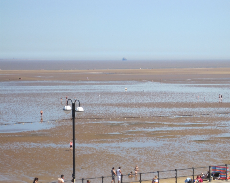
Off-shore Fort. 1915-18 with later alterations and additions. Reinforced concrete and Brick, clad with riveted steel armour plating. Timber and steel jetty. Circular on plan with hexagonal base and balcony at sea level, plain railings to balcony and jetty. three floors with added floor in brick to south-west, with basement and magazine below sea level, and central two storey observation tower. Rows of windows to lower and middle floors, each with pairs of tinged steel shutters. The middle floor has a group of three projecting turrets to the north-east, the central one concrete supported on a cylindrical shaft with a row of shuttered windows beneath a flat roof, the flanking turrets have conical bases and roofs and full width shuttered openings. The roof of the Fort carries a central cylindrical ventilation shaft; a rectangular flat-roofed armour-clad look-out tower with shuttered windows, single projecting square observation turret to north-east, a roof balcony, mast and radio ariels. To the southwest an added brick storey with seven windows with glazing bars, and a pair of steel chimneys, and to the northeast a pair of gun emplacements. Haile Sand Fort, with its larger companion Fort on Bull Sand (Humberside) 3.75 kilometres to the north-east, guarded the approaches to the Humber with gun batteries and anti-submarine net of steel mesh stretched between them across the mouth of the estuary (now removed). Haile Sand Fort had full amenities for a garrison. Armaments, besides the usual small and rapid-fire weapons, consisted of two six inch guns. A reputed 40,000 tons of concrete and steel went into their construction, at a cost of £1,500,000. Both forts were constantly manned during both world wars, and were often under attack from aircraft and submarine. The army left in 1956, but the Forts were still manned until the early 1960's, when both were sold to the Humber Conservancy Board. SOURCE. Cleethorpes Borough Council, Report Activities Department, information sheet 05/3, Ships and Vessels of the Humber 1985
Listing NGR: TA3491206144
External links are from the relevant listing authority and, where applicable, Wikidata. Wikidata IDs may be related buildings as well as this specific building. If you want to add or update a link, you will need to do so by editing the Wikidata entry.