Approximate Location Map
Large Map »
Latitude: 51.2835 / 51°17'0"N
Longitude: 1.069 / 1°4'8"E
OS Eastings: 614118
OS Northings: 158292
OS Grid: TR141582
Mapcode National: GBR TY2.F3R
Mapcode Global: VHLGF.HZ0Y
Plus Code: 9F3373M9+CJ
Entry Name: 20-23, London Road
Listing Date: 7 September 1973
Grade: II
Source: Historic England
Source ID: 1241019
English Heritage Legacy ID: 439640
ID on this website: 101241019
Location: St Dunstan's, Canterbury, Kent, CT2
County: Kent
District: Canterbury
Electoral Ward/Division: Westgate
Parish: Non Civil Parish
Built-Up Area: Canterbury
Traditional County: Kent
Lieutenancy Area (Ceremonial County): Kent
Tagged with: Building
1.
944 LONDON ROAD
(North West Side)
TR 1458 SW 1/135A Nos 20 to 23 (consec)
II GV
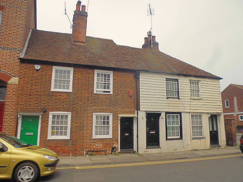
2.
C18. 2 storeys. Nos 20 and 21 are stuccoed on the ground floor and tile hung
above. Nos 22 and 23 are red brick. Tiled roofs. 4 windows with glazing
bars intact. Doorways with sloping hoods on brackets.
Nos 20 to 23 (consec) form a group.
Listing NGR: TR1411858296
External links are from the relevant listing authority and, where applicable, Wikidata. Wikidata IDs may be related buildings as well as this specific building. If you want to add or update a link, you will need to do so by editing the Wikidata entry.


Other nearby listed buildings
