Latitude: 51.2828 / 51°16'57"N
Longitude: 1.084 / 1°5'2"E
OS Eastings: 615164
OS Northings: 158253
OS Grid: TR151582
Mapcode National: GBR TY2.JW1
Mapcode Global: VHLGM.Q0XZ
Plus Code: 9F3373MM+4H
Entry Name: 60 and 60A, Northgate
Listing Date: 7 September 1973
Grade: II
Source: Historic England
Source ID: 1241063
English Heritage Legacy ID: 439954
ID on this website: 101241063
Location: Northgate, Canterbury, Kent, CT1
County: Kent
District: Canterbury
Electoral Ward/Division: Northgate
Parish: Non Civil Parish
Built-Up Area: Canterbury
Traditional County: Kent
Lieutenancy Area (Ceremonial County): Kent
Tagged with: Building
1.
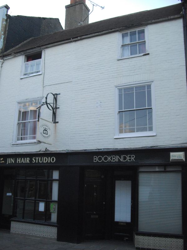
944 NORTHGATE
(North West Side)
Nos 60 and 60A
TR 1558 SW 3/257
II GV
2.
C18 facades. 3 storeys painted brick. Tiled roof. 2 sashes with mid C19
glazing. Later C19 shop front.
Nos 60 to 71 (consec) form a group.
Listing NGR: TR1516358254
External links are from the relevant listing authority and, where applicable, Wikidata. Wikidata IDs may be related buildings as well as this specific building. If you want to add or update a link, you will need to do so by editing the Wikidata entry.


Other nearby listed buildings