Approximate Location Map
Large Map »
Latitude: 51.0883 / 51°5'17"N
Longitude: -0.712 / 0°42'43"W
OS Eastings: 490301
OS Northings: 132894
OS Grid: SU903328
Mapcode National: GBR DCS.LST
Mapcode Global: FRA 96D7.VTT
Plus Code: 9C3X37QQ+85
Entry Name: 27, Lower Street
Listing Date: 19 September 1977
Grade: II
Source: Historic England
Source ID: 1244370
English Heritage Legacy ID: 449426
ID on this website: 101244370
Location: Haslemere, Waverley, Surrey, GU27
County: Surrey
District: Waverley
Civil Parish: Haslemere
Built-Up Area: Haslemere
Traditional County: Surrey
Lieutenancy Area (Ceremonial County): Surrey
Church of England Parish: Haslemere
Church of England Diocese: Guildford
Tagged with: Building
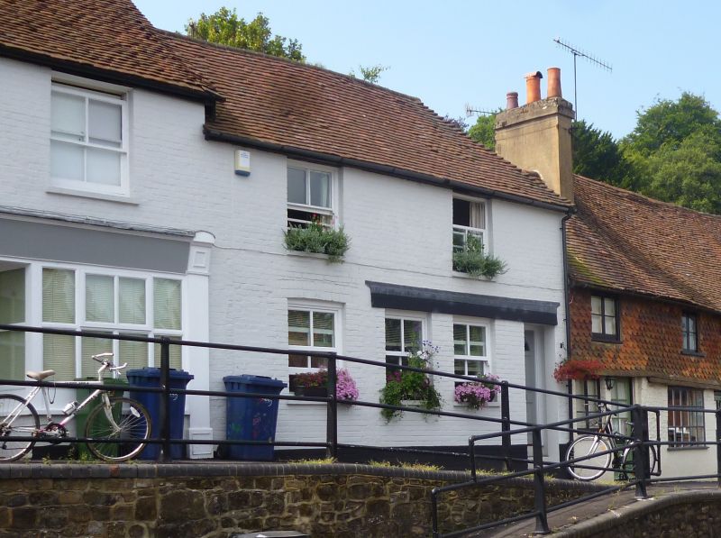
LOWER STREET
1.
5393 (South Side)
No 27
SU 9032 NW 3/128
II GV
2.
Two-storey, 2 window C18 cottage of painted brick. Tiled roof hipped at right.
First floor sash windows with glazing bars. Ground floor 2 late C19 shop windows,
the left one filled and door inserted.
Listing NGR: SU9030432887
External links are from the relevant listing authority and, where applicable, Wikidata. Wikidata IDs may be related buildings as well as this specific building. If you want to add or update a link, you will need to do so by editing the Wikidata entry.


Other nearby listed buildings
