Latitude: 54.4493 / 54°26'57"N
Longitude: -2.9796 / 2°58'46"W
OS Eastings: 336578
OS Northings: 506430
OS Grid: NY365064
Mapcode National: GBR 7JMZ.QT
Mapcode Global: WH826.6FDG
Plus Code: 9C6VC2XC+P5
Entry Name: Ice House in Grounds of Rydal Hall
Listing Date: 15 March 1974
Grade: II*
Source: Historic England
Source ID: 1245501
English Heritage Legacy ID: 452837
ID on this website: 101245501
Location: Rydal, Westmorland and Furness, Cumbria, LA22
County: Westmorland and Furness
District: South Lakeland
Civil Parish: Lakes
Traditional County: Westmorland
Lieutenancy Area (Ceremonial County): Cumbria
Church of England Parish: Rydal St Mary
Church of England Diocese: Carlisle
Tagged with: Icehouse
NY 30 NE,
9/193F
RYDAL AND LOUGHRIGG,
RYDAL,
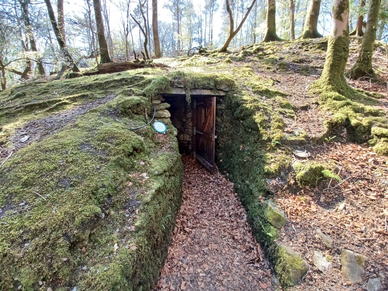
Ice-house in grounds of Rydal Hall
II*
In the woods to the north of the house. Small stone chamber partly under
ground.
Listing NGR: NY3657806430
External links are from the relevant listing authority and, where applicable, Wikidata. Wikidata IDs may be related buildings as well as this specific building. If you want to add or update a link, you will need to do so by editing the Wikidata entry.


Other nearby listed buildings