Approximate Location Map
Large Map »
Latitude: 50.689 / 50°41'20"N
Longitude: -2.1118 / 2°6'42"W
OS Eastings: 392197
OS Northings: 87706
OS Grid: SY921877
Mapcode National: GBR 32T.LX6
Mapcode Global: FRA 67G8.32V
Plus Code: 9C2VMVQQ+H7
Entry Name: Retaining Wall in Front of No 77 Running As Far North As Corner of Shatter's Hill
Listing Date: 8 April 1976
Grade: II
Source: Historic England
Source ID: 1249368
English Heritage Legacy ID: 431460
ID on this website: 101249368
Location: Wareham, Dorset, BH20
County: Dorset
Civil Parish: Wareham Town
Built-Up Area: Wareham
Traditional County: Dorset
Lieutenancy Area (Ceremonial County): Dorset
Church of England Parish: Wareham Lady St Mary
Church of England Diocese: Salisbury
Tagged with: Retaining wall
1.
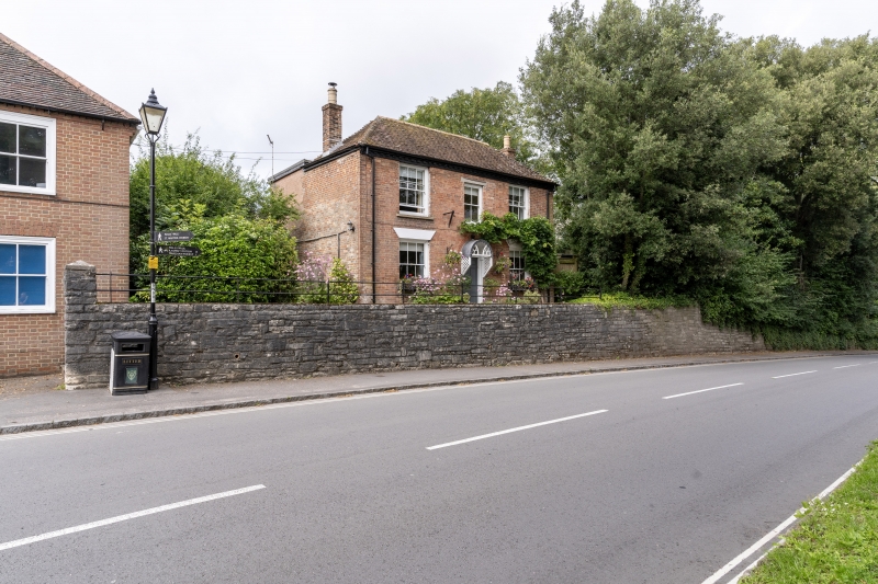
5190 NORTH STREET
(West Side)
Retaining wall in
front of No 77 running
as far North as corner
of Shatter's Hill
SY 9287 1/162
II
2.
C18 or C19. Hammer-dressed Purbeck stone.
Listing NGR: SY9219087720
External links are from the relevant listing authority and, where applicable, Wikidata. Wikidata IDs may be related buildings as well as this specific building. If you want to add or update a link, you will need to do so by editing the Wikidata entry.


Other nearby listed buildings
