Approximate Location Map
Large Map »
Latitude: 51.2224 / 51°13'20"N
Longitude: 1.4041 / 1°24'14"E
OS Eastings: 637796
OS Northings: 152530
OS Grid: TR377525
Mapcode National: GBR X1Y.7TT
Mapcode Global: VHMDG.9J5R
Plus Code: 9F336CC3+XM
Entry Name: 3, Beach Street
Listing Date: 8 February 1974
Grade: II
Source: Historic England
Source ID: 1250311
English Heritage Legacy ID: 176937
ID on this website: 101250311
Location: Deal, Dover, Kent, CT14
County: Kent
District: Dover
Civil Parish: Deal
Built-Up Area: Deal
Traditional County: Kent
Lieutenancy Area (Ceremonial County): Kent
Tagged with: Building
BEACH STREET
1.
1035
(West Side)
No 3
TR 3752 NE 1/5
II GV
2.
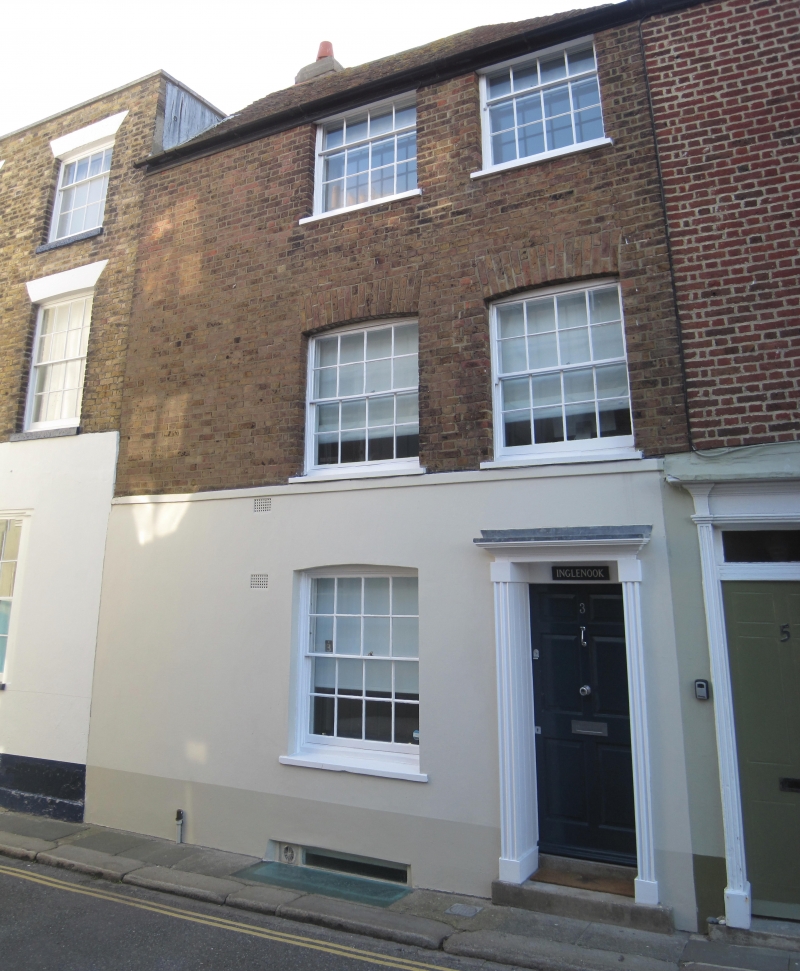
Early C19. 3 storeys. Ground floor stuccoed, upper floors brown brick. Tiled
roof. 1 sash with glazing bars intact, with cambered heads to ground and 1st
floors, Simple doorcase. Included for group value.
Nos 1 to 19 (odd) form a group.
Listing NGR: TR3779652530
External links are from the relevant listing authority and, where applicable, Wikidata. Wikidata IDs may be related buildings as well as this specific building. If you want to add or update a link, you will need to do so by editing the Wikidata entry.


Other nearby listed buildings
