Approximate Location Map
Large Map »
Latitude: 54.6961 / 54°41'45"N
Longitude: -1.1869 / 1°11'13"W
OS Eastings: 452500
OS Northings: 533752
OS Grid: NZ525337
Mapcode National: GBR NG44.TC
Mapcode Global: WHD6F.Q7Z8
Plus Code: 9C6WMRW7+C6
Entry Name: Union House
Listing Date: 17 December 1985
Grade: II
Source: Historic England
Source ID: 1250593
English Heritage Legacy ID: 432923
ID on this website: 101250593
Location: Croft on Heugh, Hartlepool, County Durham, TS24
County: Hartlepool
Civil Parish: Headland
Built-Up Area: Hartlepool
Traditional County: Durham
Lieutenancy Area (Ceremonial County): County Durham
Church of England Parish: Hartlepool St Hilda
Church of England Diocese: Durham
Tagged with: House
HARTLEPOOL SOUTHGATE
NZ 5233
(north side),
Headland.
8/l10 Union House.
- II
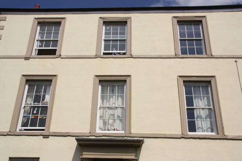
Wrongly shown on O.S. plan as: Union Tavern (P.H.). Tavern, now a private
dwelling; of c.1840. Rendered and painted, with Welsh slate roof, rendered
end stack to left and rebuilt right-hand brick end stack and gable end. 3
storeys; 3 bays. Remains of public-house frontage to ground floor,
comprising 2 pairs of attached fluted Roman Doric columns on square plinths
and supporting continuous entablature. Mid/late C20 fixed windows and
central double 3-panelled doors under rectangular fanlight and with panelled
reveals. Upper-floor windows : sashes with glazing bars, architraves, plain
sills continued as bands. Chamfered rusticated quoins to left-hand angle.
Listing NGR: NZ5250033752
External links are from the relevant listing authority and, where applicable, Wikidata. Wikidata IDs may be related buildings as well as this specific building. If you want to add or update a link, you will need to do so by editing the Wikidata entry.


Other nearby listed buildings
