Latitude: 54.6825 / 54°40'57"N
Longitude: -1.244 / 1°14'38"W
OS Eastings: 448840
OS Northings: 532205
OS Grid: NZ488322
Mapcode National: GBR MGR9.G7
Mapcode Global: WHD6D.VKTN
Plus Code: 9C6WMQM4+2C
Entry Name: Boundary Wall Approximately 8 Metres to East of Low Tunstall Frmhouse
Listing Date: 17 December 1985
Grade: II
Source: Historic England
Source ID: 1250662
English Heritage Legacy ID: 432937
ID on this website: 101250662
Location: West Park, Hartlepool, County Durham, TS26
County: Hartlepool
Electoral Ward/Division: Rural West
Parish: Non Civil Parish
Built-Up Area: Hartlepool
Traditional County: Durham
Lieutenancy Area (Ceremonial County): County Durham
Church of England Parish: Hartlepool St Luke
Church of England Diocese: Durham
Tagged with: Wall
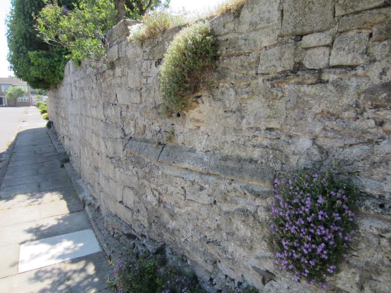
HARTLEPOOL THE VALE
NZ 4832
(west side)
3/126 Boundary wall, approx-
imately 8m to east of
Low Tunstall Farmhouse
GV II
High screen wall fronting onto street. Probably C17. Coursed limestone.
Included for group value.
Listing NGR: NZ4884032205
External links are from the relevant listing authority and, where applicable, Wikidata. Wikidata IDs may be related buildings as well as this specific building. If you want to add or update a link, you will need to do so by editing the Wikidata entry.


Other nearby listed buildings